

Waterfall off the side of the 33
Day #809 * Hike #1011 * New Track #794
Saturday February 2, 2013
Howard Creek Trail - (Not Quite) - Ojai, CA
My Tripometer: 0.75 Hours * 1.25 Miles * +175 Feet

Trailhead - Not what I was looking for 0.2 miles on the right from the 33
Directions:
Take the 33 North out of Ventura and past Ojai. Drive through the tunnels, past Wheelers Gorge and take Ventura's most scenic drive all the way up to Rose Valley. The drive is about 20 minutes from Ojai. Turn right on Rose valley and this incorrect trailhead is on the right.

The orange streaks on the left represent the wrong hikes that I took today

After wandering around, we found what appeared to be a trail?

Okay, we can't figure this out?

We climb higher!

Dead End!

We came back down from the ruff and then spotted this alternative to the left

Many bullet shells!

Glass Broken Everywhere!

Shot Up Can!
Reached another Peak; another dead end!

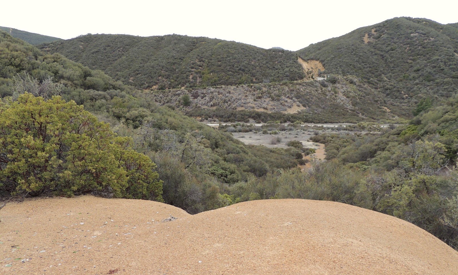
Ocean Views!

Manzanita
Day #809 * Hike #1012 * New Track #795
Saturday February 2, 2013
Howard Creek Trailhead - Ojai, CA
My Tripometer: 0.5 Hours * 1 Mile * +75 Feet

The Correct Trailhead for the Howard Creek Trail
So this is what happened. Before I hiked in no mans land with broken glass, I drove up here first. I saw the gate, looked at the map and figured this was Ranco Grande. So, I drove back and tried my luck with no success to hike through the thick. Anyhow, this trailhead is 0.4 miles from the 33 Highway, just 0.2 miles from the wrong trailhead.

It would appear that the Howard Creek Trail veers off to the left

With a commitment to get back to the Chill Out Fro Yo Shop, I knew I would not be able to complete the 5.6 mile round trip excursion. Therefore, I went straight on this road and wound up here. It was a big loop...

A switchback on the Howard Creek Trail

Sammi finds a puddle of water on our loop

Cool pine trees and trail near the gated parking area
After this short hike, I drove another 0.7 miles up the road to identify Rancho Grande:

1.1 Miles from the 33
I didn't hike here but I drove up to Rancho Grande to confirm and understand the map. Now that I know where the Howard Creek Trail is, I will return and do this right. Sometimes it's trial and error...
Day #809 * Hike #1013 * New Track #796
Saturday February 2, 2013
Random Waterfall off the 33 - Ojai, CA
My Tripometer: 0.5 Hours * 1 Mile * +125 Feet

On our drive back to Ojai, I decided to stop at this waterfall. I've seen it many times in the past and today was the day to finally check it out...

It's a tough narrow trail, but it's manageable

It keeps going past the waterfalls...

Okay, we're turning back
I ran into a couple of others who were trekking down from here. They said the trail diminished just ahead of here so it just made sense to turn back...

Heading back down...
Each day during the work week represented a new hike through the streets of Port Hueneme. I covered nearly the entire city and of the 5000 fliers that we started with, I have less than 100 remaining. Mission accomplished and business is doing Great!
On Friday, my new track was to Golf N' Stuff in Ventura. This is hardly a hike, or is it? We played 36 holes of putt-putt and then walked around to endure well more than a mile. I beat Ayden in both matches and at one point, I achieved two Hole In One's in a row. Dang, almost makes me want to Golf!


The Howard Creek Trail adventure reminds me of a disastrous attempted hike up in Angeles National Forest some years back. We found what seemed to be the trailhead, began descending, and wound up on a "scoot on your butt down the loose gravel and sand" sort of trail, far too steep to be intentional. At the bottom we found the rusted out hulk of a very old car, a dumped refrigerator, a rattlesnake, and a water way surrounded on three sides by tall, rough cliffs. Oh, and gang tagging all over those cliffs. Not sure where we were, but it certainly wasn't our trail. Getting back OUT was almost impossible, and this was the days before cell phones.
ReplyDeleteI'm enjoying reading!
Kris
Before I began this adventure, I lead a group od dudes up past the Santa Paula Punch Bowls. At some point, the trail was just gone. We were in two different groups and we were both lost and couldn't find each other. Eventually, we pushed through an overgrown 100 yard stretch of poison oak and met back up. We were wearing our heavy packs for the overnight adventure and then climbed straight up a steep dirt hillside. I paused halfway through thinking that i was going to have a heart attack. We made it to the top and it joined up with the creek and NO TRAIL. We were search for Last Chance Camp. Eventually, we did find a fire pit off the creek and made camp. Not sure if it was Last Chance, but it was the last chance we had before sunset. Heading back the next morning was no easy task. We met up with my sister and her boy friend who camped by the Punch Bowls. They didn't dare try what we had done. A few days later, ALL of of were itching like crazy. The poison lasted for weeks. How horrible, but what a Great Experience :)
ReplyDelete