Sunday, March 24, 2013

Day 857: Secret Warmouth Trail - Sagebrush Walk Trail

In Formation

Day #857 * Hike #1070 * New Track #840
Secret Warmouth Trail - Los Angeles, California
Sagebrush Walk Trail
Friday March 22, 2013
My Tripometer: .75 Hours * 1.5 Miles * +50 Feet


 Secret Trailhead

Directions:
Following the main road out of Palos Verdes and Portugese Bend, the road becomes 25th Street and you enter into the city of Los Angeles.  Turn right on Anchovy, turn right on Paseo ?Something?, turn left on Stargazer and turn right on Warmouth.  Park at the end of the street...

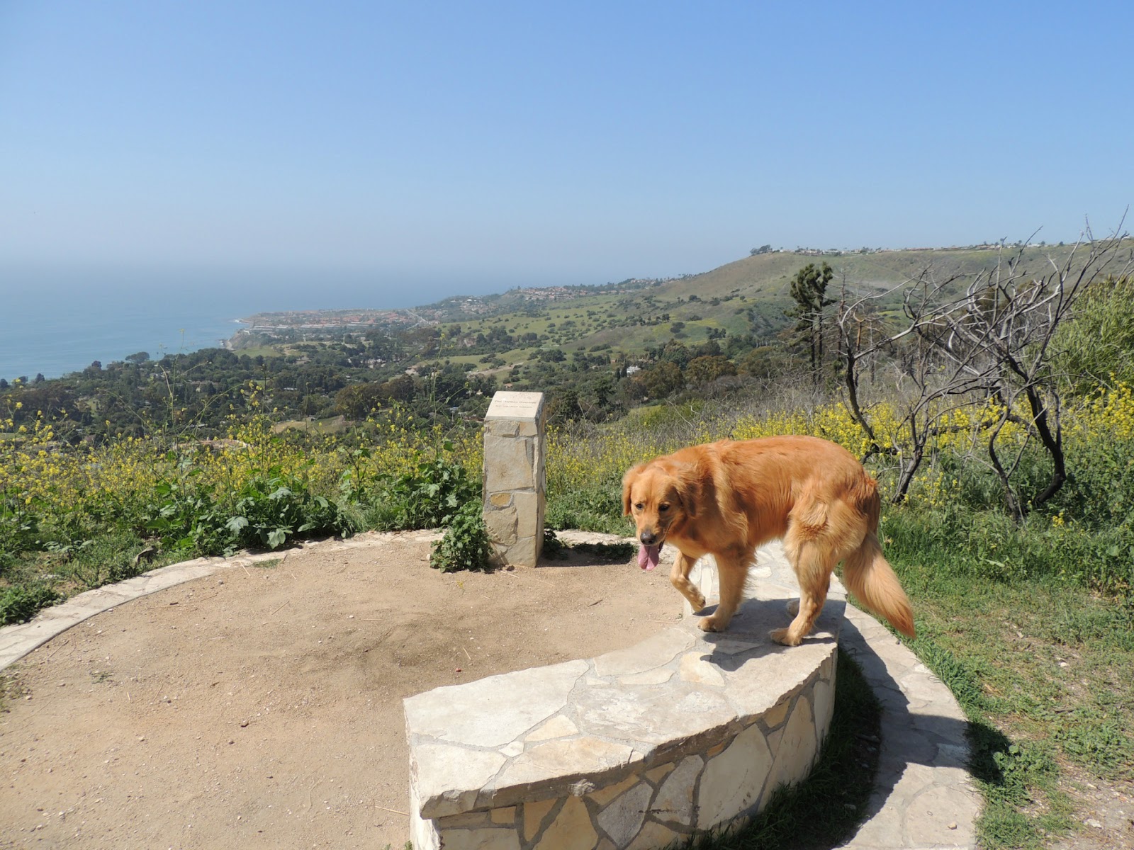
 looking over the edge

 hmm, okay???

 sketchy side trail leads down to beach - we kept along the fence

 pass the junction

 pass another junction

 take a break; nah...

another trail leads down, we go straight...

 Began hiking up the Sagebrush Walk, but turned back...

 looking down on that first sketchy trail...


...and this concludes my tour of Rancho Palos Verdes.  Thank you to my sister Julie for completing our Chill Out Menus and pointing out the Warmouth Trail, which she calls the Stargazer Trail.  Now, the long Friday drive back to Ventura County where I would work the closing shift at Chill Out.  But not before...

Hike #1071: Duplicate Hike at Moranda Park
I still had Sammi with me so at about 6:30pm, I walked her a mile + around the park to the Bubbling Springs.  She then remained in the car for the rest of that night as I trained our first employee at the shop.  Oh yeah, still not feeling great.  In fact, very ill and under the weather.  It was amazing that while I did all these hikes, my body forgot about the illness.  Once I was closed in the shop, I began to sweat, get dizzy and just felt awful.  It just shows, it feels great to be outside when the weather is California Sunny!

Day 857: Abalone Cove Park - Marilyn Ryan Sunset Point Park - Trump National Golf Club

From the Free Park area (after Abalone Cove Park)
 
Day #857 * Hike #1070 * New Track #840
Abalone Cove Park - Rancho Palos Verdes, California
Marilyn Ryan Sunset Point Park - Trump National Golf Club
Friday March 22, 2013
My Tripometer: 1 Hour * 1.25 Miles * +25 Feet


Continuing down the main road from my previous hikes in Palos Verdes, the next stop was Abalone Cove Park.  However, this park charges $5.00 at entrance so I turned out and continued up the road.  Just a quarter mile up, there is a turn out with a few Free Parking Spaces.  However, parking here is limited to 30 minutes...


I walked around a bit and got it.  To explore the coast you will need to pay up the $5.00 and make an afternoon out of it.  Instead, I continued further down the road to collect three different locations into one "New Track" for my mile accumulation...

 Marilyn Sunset Point Park
 

I walked around here a bit and it linked up to:

Trump National Golf Club

There are many miles of hiking around the course.  This is some of what you will see:


I then headed back to the car and decided to head further up the road.  All of a sudden, the road became very sketchy:
 
(pic taken on my way back)
 
 The pavement up here was blacked top of cement and very bumpy, hence the land movements.  It's nothing too serious where you should feel unsafe driving it, but it did take me by surprise.  From here, you leave Ranchos Palos Verdes and enter the city of Los Angeles...

Day 857: Pelican Cove - Vicente Bluffs - Pescadero Trail

Pelican Cove

Day #857 * Hike #1069 * New Track #839
Pelican Cove - Rancho Palos Verdes, California
Vicente Bluffs - Pescadero Trail
Friday March 22, 2013
My Tripometer: 0.75 Hours * 1.25 Miles * +125 Feet


 Free Parking!

Directions:
At the end of Hawthorne Blvd in Rancho Palos Verdes, turn right.  At a half mile you will pass the Vicente Lighthouse.  About a half mile further you will see the Pelican Cove turn off on your right.


 Ah, a trail leads down to the cove...

Follow the Pescadero Trail


There is a trail along the rocks which goes both ways.  This would be a neat area to explore, especially at the points.  However, we only touched the water, just to say we did, walked around for a moment and then hiked back up.  At the top, rather than heading directly back to the car, we turned left back toward the lighthouse...


We didn't go all the way but this area could be combined into a longer scenic hike along the coast.  Pardon the pun but we just got our feet wet with this one...

Day 857: San Vicente Lighthouse - Point Vicente Interpretive Center - Major Vista Point

San Vicente Lighthouse at Point Vicente

Day #857 * Hike #1068 * New Track #838
San Vicente Lighthouse - Rancho Palos Verdes, California
Point Vicente Interpretive Center - Major Vista Point
Friday March 22, 2013
My Tripometer: 0.5 Hours * 1.25 Miles * +0 Feet


 Point Vicente Interpretive Center

Directions:
Take Hawthorne Blvd all the way to the end and turn left.  About a half mile up on the right you will see the Point Vicente Free Parking area.

 Pretty cool...

 walking Sammi on a leash past the center

We walked down about a half mile, then turned back
 
 Locked Gate at the Lighthouse

Sammi at Major Vista Point

I found out later that the dirt trail heads out to the road and follows along the bluff.  However, we went back to the car and discovered this connection next...

Day 857: Portuguese Bend Reserve - Palos Verdes Nature Preserve - Del Cerro Park

Large Tree at the Harman Overlook

Day #857 * Hike #1067 * New Track #837
Del Cerro Park - Rancho Palos Verdes, California
Palos Verdes Nature Preserve - Portuguese Bend Reserve
Burma Trail - Ailor Trail - Eagles Nest Trail - Harman Overlook 
Ishibashi Trail - Fire Station Trail
Friday March 22, 2013
My Tripometer: 1 Hour * 2.25 Miles * +200 Feet


 Del Cerro Park

Directions:
Who knew Crenshaw Blvd. could be so beautiful?  Growing up watching Boys 'N' The Hood, a Clevelander like myself pictured Crenshaw to be a road in the ghetto.  Well, that is true, until you follow the road all the way to the end.  FYI, Hawthorn Blvd which parallels Crenshaw is even more magnificent and will take you all the way to the ocean.  I will discover this on my next hike.  For now, you'll find Del Cerro Park at the end of Crenshaw...

 Views from the Free Parking Lot

 hiking to the back of the park

 Amazing Views back here!

 Looking out - Will drive over that way later...

I was disappointed to not find a way down the hill from this park.  However, I had a hunch and walked back out to the road, turned right and just a few hundred feet down...

 Trailhead down the Fire Road...

 Portuguese Bend Reserve - So Many Trails!!!

 Looking Out - Let's check it out...

We ran down the fire road to the bottom.  There is a single track line that follows the road which offers amazing ocean views.  Although I felt so darn ill, jogging down this hill and sweating temporarily made me forget about this...

 At the bottom, we turned right down this single track through the field

 It took us back to the fire road (looking right)

 We turned left...

 About 20 feet up, turn right down Ailor Trail


 Looking back at where we came from

 We turned right on the Eagles Nest Trail


It looked like this trail may take you all the way down.  Rather than do this, we turned back up and continued up the Ailor Trail...

 Harman Overlook


 Heading back up the fire road, look at this open space!

 Passing the Ishibashi Trail which would take you into the green...

 Another option, but...

 We looped back and jogged up the hill back to the park

 Refreshing!

This was a nice find!  I've never been to Palos Verdes before.  This peninsula is tucked in between Long Beach and the LAX.  Just wow.  Time to jump back into the car and see what else we can find...

Translate

ALEX'S LEMONADE STAND

ALEX'S LEMONADE STAND
Raising Money for Pediatric Cancer

RWANDA WATER HIKE

RWANDA WATER HIKE
Click Image to Learn More