

The Hill Canyon Wetlands
DAY 204: Hill Canyon Wetlands
Date: Monday June 6, 2011
Miles: 3.75
Elevation Gain: 850 Feet
Time: 1.75 hours
Difficulty: Difficult water crossing, unable to find alternate way: Feet get wet
Reward: Connecting the dots on the map
Description: Revisiting the Rancho Conejo Open Space in effort to complete the unpublished map
Where: Newbury Park, CA
Directions:From the 101 Freeway in Thousand Oaks, exit on Rancho Conejo Rd and take it past Amgen near the end. Turn left on Conejo Center Drive and then park immediately. The trailhead for today's adventure starts across Rancho Conejo Blvd.
Directions:From the 101 Freeway in Thousand Oaks, exit on Rancho Conejo Rd and take it past Amgen near the end. Turn left on Conejo Center Drive and then park immediately. The trailhead for today's adventure starts across Rancho Conejo Blvd.

Follow the dirt road across the field. There may be some "No Trespassing" signs in the area but nothing was posted directly in front of this trail. I was hesitant walking toward the trucks parked on the road in the picture above. Several workers were out of their vehicles at the edge of the road just before it lowers several hundred feet to the canyon below. I walked casually giving them each a head nod and there was no deterrence altering my journey.

At the bottom of the road, hop-scotch across...

You can go left or right: both ways lead you around the wetlands...
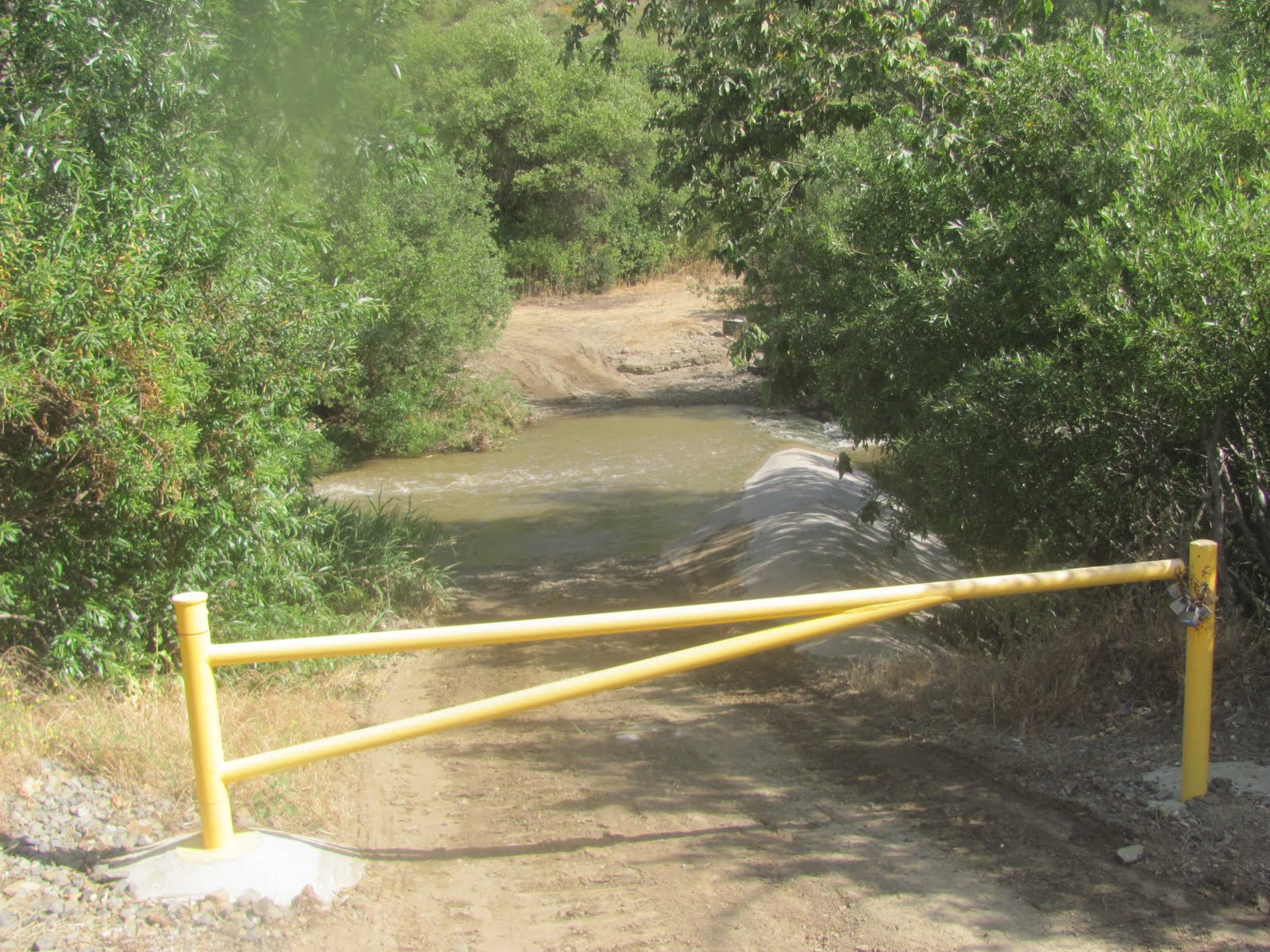
After the rains we had over the weekend, the water level was a bit higher than normal. I didn't feel like getting my shoes wet so I attempted to find another way to cross within the thick forest. After 20 minutes or so, I gave up. Rather than turning back, I continued walking forward beyond the road that I was on. To the left is the water treatment center. A moment later I reached this spot:

Proceed along the fence, there is a trail!

The trail becomes more evident the higher you go

I once saw this rock against the canyon wall when the VC Star interviewed me

A side trail intersect with the one I was on and I see footprints

The canyon below: "The Arroyo Conejo"

Welcome to Wildwood Park
Once I came home I viewed the Wildwood Park Map and realized that I adjoined with the Lynnmere Trail and hiked halfway around it. I am inspired to map this entire area but without correct tools, a compass and a topomap, I am finding it quite difficult. Nevertheless, I will continue to hike every possible trail that I can find and do my best to share my discoveries with you...


No comments:
Post a Comment