Lizard found a home on a backpack left behind on this trail
Day #710 * Hike #858 * New Track #688
Friday October 26, 2012
Highest Peak in Newbury? - Newbury Park, CA
My Tripometer: 1.25 Hours * 3.25 Miles * +800 Feet
Directions:
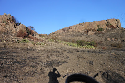
I started from the Mobile Home Community off of Old Conejo Road. Follow the driving instructions from: Day 634: Fire on the Conejo Grade. Today, rather then turning right up to the fire, I turned left. I started down this track last time but as you see in the picture above, there was much more trail to hike...
When I came back down from the peak, I turned right at the trail junction in hopes that I would loop back. If I would have gone straight, this would have taken me to the other high peak which would belong to the city of Camarillo.
The mostly downhill trek eventually opened up to an Edison Road. I met up with where I hiked up to view the Conejo Grade fire and from there, it was an easy decent back to the mobile park. I quickened my pace with a good jog. This was a great way to end the work week...
Rewind:
My Tripometer: 1.25 Hours * 3.25 Miles * +800 Feet
A New Direction...
Directions:
I started from the Mobile Home Community off of Old Conejo Road. Follow the driving instructions from: Day 634: Fire on the Conejo Grade. Today, rather then turning right up to the fire, I turned left. I started down this track last time but as you see in the picture above, there was much more trail to hike...
Out of Service!
Through the field...
Looking back, rounding the turn...
Ah, found a new Trailhead for next time..
Corner of Calle Alta Vista & Calle Las Colinas
The trail continues flat, but I was ready for a climb...
Here we go...
Overall, easy, but a few rough spots
Looks like there is a dirt bike track up here
Heading to two peaks...
We'll be climbing the first one today...
Several alternative ways to meet up on this trail
Above this steep incline will be a trail junction, turn right...
Views over Boney
Looking out over Camarillo
Well above the Grade!
You can see how I rounded the Mountain to reach the peak
When I came back down from the peak, I turned right at the trail junction in hopes that I would loop back. If I would have gone straight, this would have taken me to the other high peak which would belong to the city of Camarillo.
The mostly downhill trek eventually opened up to an Edison Road. I met up with where I hiked up to view the Conejo Grade fire and from there, it was an easy decent back to the mobile park. I quickened my pace with a good jog. This was a great way to end the work week...
Life exists after the fire...
Rewind:
Day #709 * Hike #857 * Duplicate Track
Thursday October 25, 2012
Arroyo Verde Park - Ventura, CA
My Tripometer: 1.5 Hours * 1.75 Miles * +175 Feet
My Tripometer: 1.5 Hours * 1.75 Miles * +175 Feet
This was an easy cross country run ahead of Saturday's run...


No comments:
Post a Comment