
DAY 57: HILLCREST OPEN SPACE


Miles: 5.5
Elevation Gain: 1475 Feet
Elevation Gain: 1475 Feet
Time: 1.5 Hours
Difficulty (1-10): 6.5
Reward (1-10): 1
Description: A roller coaster of steep hills
Description: A roller coaster of steep hills
Where?: Thousand Oaks, CA
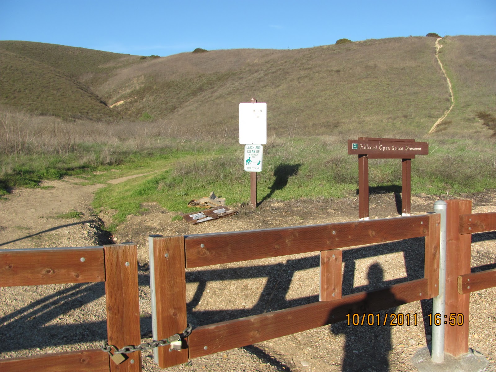
Directions: From the 101 Freeway in Thousand Oaks, exit at Westlake Blvd. and drive north. About a mile up, turn left on Hillcrest and then turn left on Blue Mesa (first side street). Park on the quick side street and then walk back to Hillcrest, cross the street and turn left. Hike about 1/8th of a mile up the hill and you will see:
Directions: From the 101 Freeway in Thousand Oaks, exit at Westlake Blvd. and drive north. About a mile up, turn left on Hillcrest and then turn left on Blue Mesa (first side street). Park on the quick side street and then walk back to Hillcrest, cross the street and turn left. Hike about 1/8th of a mile up the hill and you will see:
The Trailhead (that hill is steep!)
**MY 57 DAY SUMMARY: 203.75 Miles +31,550 Feet**
There is no parking on Hillcrest so jog a minute up the hill and begin. Start hiking and take the right fork toward the hill. I began to jog up the first part of this hill but no way I could keep it up. The picture does no justice for how steep this really is. No only that, my left foot felt strange so I had to climb even stranger. Just when you think you are nearing the top, nope guess again. And again, and again until finally:

The First Top
This is your chance to bail. It took you long enough to climb up here so if you wanna call it quits, you can turn left and follow the loop back to the car. Nah, not me! The trail goes right and I jog down. A minute later, you begin another incline. Just when you think you're there, you're not. This hill goes even higher than the first. It's deceiving so don't let the calm pictures give you the idea that you can make it if you're not in shape to do so. Once at the next top, you immediately head down again like a roller coaster. This time you will notice the loop back trail ahead of you at a lower elevation and to the left. To the right (northeast) you'll notice the Simi Peak area smiling at you, taunting you; but not today.
Finally, you climb a third hill and flatten out to a junction. The right takes will eventually take you down to a local residential area so be sure that you go left. 500 feet later, there is a road and small water tank in front of you (another possible trailhead if you're interested). Instead, turn left and head down and back. This is the longer lower loop trail that meanders back and forth into the hill above. For a moment, you sense that you will meet the canyon just right to where there will need to be water; not happening. Dry and today, cold and windy. At least down here, you are protected from the strong gusts because up on top, that was brutal! I ran most of the way but don't let this encourage you. There are plenty of small uphills:

Nearly back along the lower trail
But wait, not yet. I was so eager and felt so close that I followed a path even lower toward a large water tank. DON'T DO IT! It's the wrong way! You must switchback and up. It's not much higher, but you have to do it! Meanwhile, I'm running the majority of this and my foot is killing me! Right now, I'm wiggling it and it's cracking. I'm still wearing my sweaty gear as I write, sorry dear that the desk chair is all wet :)
Finally, you say the daylight, I mean the street as the daylight passed about 20 minutes prior. A short trot back to the car, and here I am. The BCS Championship Game is on and Auburn just tackled Oregon in the endzone; Safety! 2nd quarter Auburn 9 Oregon 11. I predict Auburn wins...


No comments:
Post a Comment