DAY 82: MOUNT REX
Date: Friday February 4, 2011
Miles: 3.5
Elevation Gain: 1100 Feet
Time: 1.50 Hours
Difficulty (1-10): 6.0
Reward (1-10): 3.5
Description: Climb to the peak on the North side of the Grade.
Description: Climb to the peak on the North side of the Grade.
Where: Newbury Park, CA
Directions: From the 101 Freeway in Thousand Oaks, exit on Rancho Conejo and take it almost to the very end. With about 500 feet from the end of the road, turn left on Conejo Center Drive. The trailhead that I began from is about 500 feet down on the right.
Before i set out today, I scanned through the Google satellite maps and thought that I was going to find another trail from the same spot I hiked yesterday. After ten minutes of searching, I deemed it impossible. However, I saw a dirt road spurring down from Conejo Center Drive so I hiked back to my motorcycle and began at the started over:
The Arroyo Conejo Gatway
I name this road the Arroyo Conejo Gateway because it's the quickest route from car access to reach the beginning of the Arroyo Conejo. I jogged down the road and quickly intersected that insane trail from yesterday. The Fence to the Arroyo Conejo was on the right and then another road lifted up to the left. Ok, I decided to do it! About halfway up, I decided to name this trail Achilles Heel Trail. This was nearly as steep as the rocky road that I slid down yesterday. In fact, I'm going to label the Achilles Heel Trail from the top of Rancho Conejo to where ever this goes. It is just so steep!
Inclines can be fun. They are a good workout and I love to feel the power in my legs work. But this incline is just stupid and dangerous. It felt like my achilles was going to explode!
Mt. Rex in the far distance!
It looks tempting but I doubt that I will climb that big rock today!
Looking back, the steep hill falling down is the Achilles Heel portion that I did yesterday and the windy ridge road is the gateway that I took today. After the initial 350 foot climb, oops I did it again. The road flattened for a few moments as it walked across the fields. There were a number of alternative side roads and some may have lead slightly lower into a vegetation habitat. But you know what, that big rock started getting closer and now I was interested. Yikes, another incline!!!
I saw a few people up there so i knew what I had to do. I strained all the way up the Achilles Heel Trail were it ended in a T-junction with a trail that is now known as the Rex Ridge Trail. I turned right up this easy trail with my mind set on reaching the summit. The last portion was quite steep and I do not recommend that you bring your young child or dog up here.
From the summit of Mt. Rex
From this vantage point, I could see a thousand trails in a thousand days. Simi Valley, Moorepark, Santa Rosa, Camarillo, Oxnard, Ventura, Thousand Oaks, Agoura Hills and so on out to Ojai... You see it all up here. The ocean was visible but the visibility was a frustrating hazy!
From the top, a trail could be paved across toward the weigh stations over the Conejo Grade. I plan to come back up here but I will find an easier way. For now I left the guys to return back to my bike. Rather than go down the Achilles, I remained on the calm Rex Ridge Trail. There were a couple off routes that I saw and after viewing the maps, it looks like there is a trailhead from North Wendy Rd and another from Grande Vista.
Correction, the Rex Ridge Trail did put up a fight. It was a challenging steep down but I easily preferred it versus the Achilles Heel.
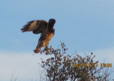
I saw this bird straight ahead on the Rex Ridge Trail but that is not the reason I turned left off of it. My bike was back that way and I had to get back. The open space and roads were easy to follow so I did choose a good way back. I'm really excited about the map that I am drawing but I will not be able to get back here too much over the next couple of weeks. Don't worry, I will still be hiking everyday but it just wont be here. This weekend ought to be great because I plan to see a 150 foot waterfall and wind caves. I will update when I can so until then, click on an ad :)


It’s Rex! I found it haha
ReplyDelete