

Sammi Points the way down the Backbone Trail
Day #873 * Hike #1093 * New Track #856
Backbone Trail - Topanga State Park
Old Topanga Road - Trippet Ranch
Greenleaf Interpretive Trail - Greenleaf Canyon Road
Sunday April 6, 2013
My Tripometer: 1.25 Hours * 4 Miles * +750 Feet

No Dogs allowed this way...
Directions:
From the PCH, head up Topanga Canyon Road several miles and then turn left on Old Topanga Road. Although there is no street light for Old Topanga, you can't miss it. You'll be in the middle of the Old Topanga Town, as seen later in this post. About a half mile down, the backbone trail will cross the roadway. The picture above represents the trail heading to the left. Because of the No Dog sign and the fact that Sammi was with me, we went the other way:

Backbone Trailhead from Old Topanga to Trippet Ranch

Ah, my it's nice to finally be on a legit trail again...

Eventually I hope to complete the entire Backbone
Today was just a random find

After some uphill, the trail leads here

Harlan Trail??? We didn't go that way

Look around the corner, the backbone continues here

Another increase in altitude, but you do not escape the sound of traffic

What is this, an interpretive trail?

Sticky Monkey Flower

Poison Oak - Many other interpretive signs...

Confirmed, the Greenleaf Interpretive Trail - Got it!

Mugwort

Leads out to a road...
When I looked right after leaving this trail, the paved road headed down to a main road, I assumed Topanga Canyon Road and would later discover that this assumption was correct. I didn't see the continuation of the Backbone Trail from this vantage point and there were no signs. Thus, I decided to turn left. ***Error- the correct way to continue along the Backbone is to cross Topanga Canyon Road. But, because I had no map, my explorations took me up the hill, later to find out that this road was called Greenleaf Canyon Road, hence the Greenleaf Interpretive Trail...

Off the road to the right...

About a half mile up, figured I was wrong but kept going

The deadend at the top
It took me over 20 minutes to climb this darn road! Worst part of it all, there were no significant views to reward me from the elevation gain. I turned back around and jogged with Sammi to the bottom. Indeed, this took me to Topanga Canyon Road and across the street the Backbone Trail continued. Rather than hiking that now, I turned right on Topanga Canyon. Along the way I passed...
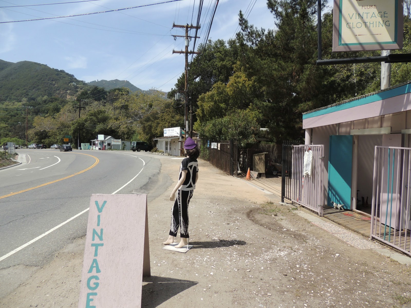
Vintage

Pebbles

Bouboulina
Old Topanga Road intersects at about a half mile from Greenleaf. You will pass Entrada Road on the left where I once hiked: Day 473: Santa Ynez Falls. You then pass the Topanga Library and a few other places but before turning right across the bridge to head back to the car, we continued down Topanga Canyon for a moment...

Found Hidden Tressures
And with that, we turned back and jogged the half mile back to the car on Old Topanga. So basically, I knocked off one mile from the Backbone Trail. The good news is, I discovered two new entry points, one of which I will do next...
Day #873 * Hike #1094 * New Track #857
Backbone Trail - Topanga State Park
Topanga Canyon Trailhead to Trippet
Highvale Trail - Glen Trail
Sunday April 6, 2013
My Tripometer: .75 Hours * 1.25 Miles * +125 Feet

Backbone Trail - Topanga Canyon Trailhead
Directions:
If coming down Topanga Canyon from the 101, this trailhead is on the left across the street from Greenleaf and just before Entrada Road where the official parking area is for Topanga State Park. Please view my visit from: Day 473: Santa Ynez Falls

Begin up grassy switchbacks
This stretch lasts less than a quarter mile. Along the way there is a faint turn off trail but I ignored that. Remaining on the Backbone, you reach a Pay Parking area, which is accessible from Entrada Road. Unfortunately, I encountered a sign:

Great, No Dogs at Trippet Ranch
Well, all is not lost. I headed back down the short switchback and then Sammi and I explored down the other trail...

Hmm, where does this go, no "No Dogs" signs...

Cool...

BMX Track!

Head down Glen Trail, a paved road and end up here

Pick up your Poop!

This short trail takes you into the nice neighborhood of Highvale Trail and Glen Trail. From here, we turned back...

Let's sit down and talk about it...
And from here, back to the car. Next time I come out this way, no dogs!
Top of Topanga Overlook - Woodland Hills
Sunday April 6, 2013
My Tripometer: 1 Hour * 1.5 Miles * +175 Feet

Top of Topanga Rest Area
Directions:
Along Topanga Canyon Road between PCH and 101

Nice Views of Woodland Hills and San Fernando Valley

It snowed in 1949?!

I hiked around the parking lot and rim back to the street. I know, this is not really a hike, but wait, I turn it in to one. I noticed a camera near the exit but did not think anything of it at the time. Without reading the sign, I just assumed it was some sort of security camera as the sign states that the area closes at 9pm or something. However, I just looked this area up on Yelp and based on the reviews, that camera is to enforce the stop sign! WHAT! Let me guess, I'm going to get a ticket because I'm pretty sure I rolled through that stop sign on my way out. Unreal!!! Boy, can't wait...

More views near the back of the small parking lot

Hmm, trailhead???
The dirt path requires 4 legged drive for Sammi but we easily made it up to the top. Nice views up here and a nice house separated by a gated fence. But don't tell Sammi about the fence, she found a way in...

Bird Bath!
It was not easy getting her out of here. Once she did, we scampered down the hill back to Topanga, crossed the street, CAREFULLY, and began a legit hike...

Fire Road Tailhead...

Here we go...

Ah, the real Top of Topanga Canyon!!!

Andit keeps going beyond the water towers...

Hmm, appears side trails lead to surrounding neighbors...

Why not, let's keep going...

random picture, two butterflies in flight...

And we turned back here
This kept on heading back but the plan was to meet up at Oaks Christian for Alyssa's Soccer Game. Time to run back to the car, and don't forget to STOP at the Stop Sign!


No comments:
Post a Comment