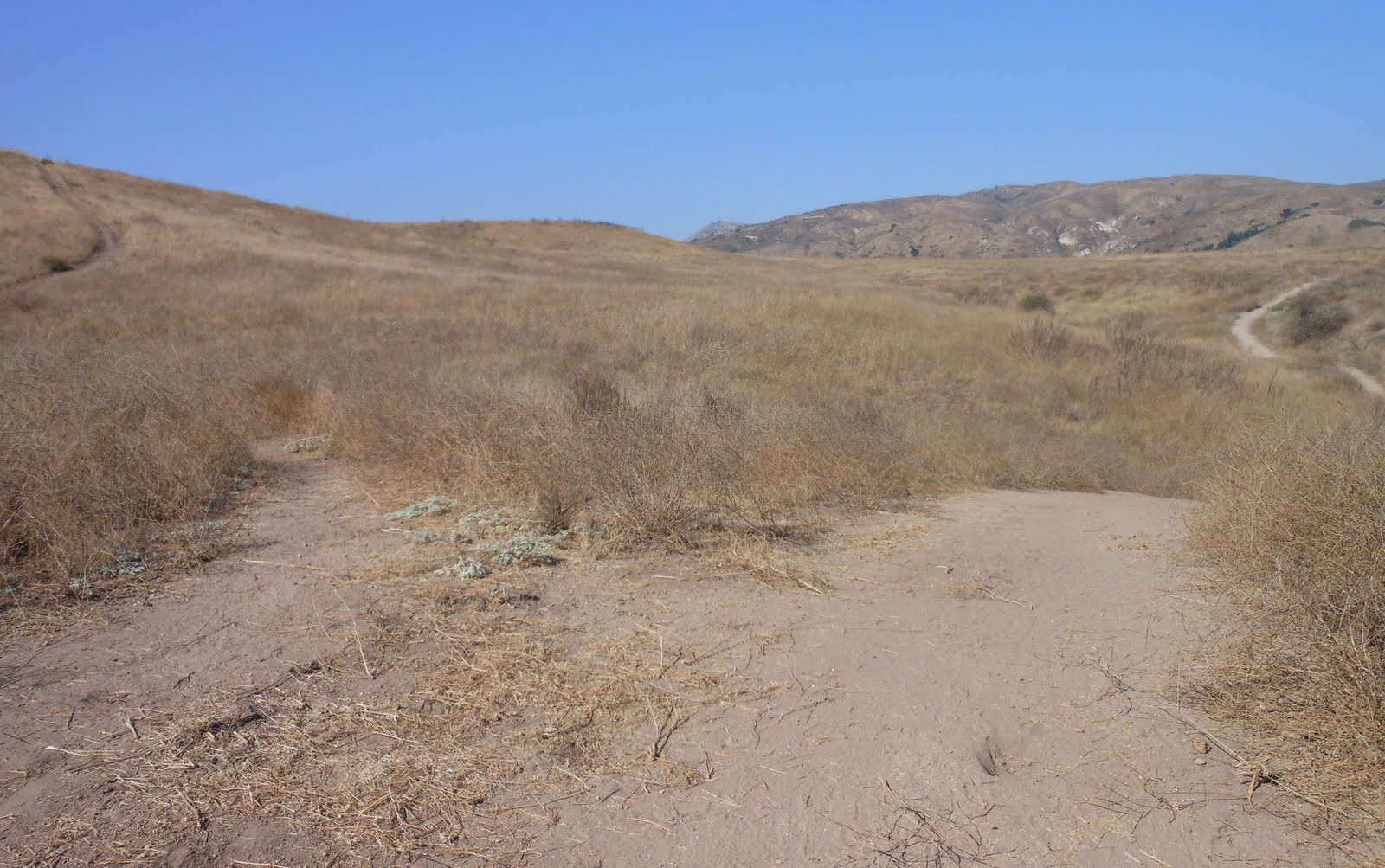
Sunday, September 4, 2011

Day 293 & 294: Save the Aviary at Steckel Park & Omer Rains Trail

Ventura County is tearing down my home!

Day 294: Sunday September 4, 2011
Save the Aviary
Steckel Park
Total Distance Today: 10.5 miles  +100 feet
Hiking: Santa Paula, CA
Running: Ventura, CA


Jess and I ran 9-miles this morning, but more about that in a moment...  I read in the newspaper that Ventura County has decided to cut funding for the Aviary at Steckel Park in Santa Paula.  In 1926, the mayor of Santa Paula, M.L Steckel, purchased the property for $15,000 and then donated the land to the city to serve as a park.  Due to budget cuts, Ventura County sites that the aviary must be torn down because it would take $150k to revamp.  In addition, it costs the county $11k a year to maintain the aviary; mostly bird food.

Really??  --This is horrible!  --There is a local caretaker who volunteers their time to care and feed the birds.  I'm nearly certain that if Ventura County really wanted a brand new aviary, people would help assist in the rebuilding of this project.  Ventura County officials have already approved the demolition, but it's never too late.  It seems like this is a very small price to pay to save a local attraction that has been around longer than most of us have been alive.  <~Thinking about starting a campaign; hmmm...

Directions:
Front the 101 Freeway in Ventura, take the 126 East to Santa Paula.  Exit on 10th Street, Route 150 and turn left.  Follow the 150 out of Santa Paula and several miles further you will see Steckel Park on the right.  Steckel Park is also a campground and you may have to pay a few bucks on the weekend if you want to view the aviary.  Today is Sunday and there was no one there to take our money.  Once you drive into the entrance turn right and park.  The Aviary is right there.

 Two very talkative Cockatoos


There are over 100 birds at the aviary.  The city intends to find good homes for these birds.  I'm sure they will, but let me tell you that I lived in Santa Paula over 6 years ago and if you move these Cockatoos, I just don't think they will be the same.  Maybe they'll love it or maybe they'll be depressed.  Bottom line, our county needs more sanctuaries like this; not less!

I Googled the web and found an interesting read about the Aviary: 1994 LA Times Article

Hiking at Steckel Park.  --It's a family holiday weekend and what kid doesn't like skipping rocks in the water.  Due to the long run, the short hike was right on target.  There are many different ways to reach the peak, so we drove toward the back of the campgrounds and found this sign:
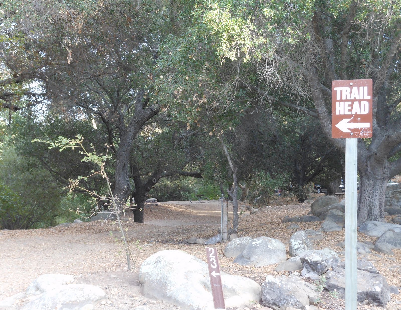


  I threw a rock in the water and quickly snapped a pic
(Ya; I'm a big kid too!)


9-Mile Run along the Omer Rains Trail:
Today we parked on the street by the Marriott Hotel across from In and Out in Ventura.  Parking at the city park will cost you 10 bucks; I think not!  --We walked to the bike path and began our run:

  • 10.06.18 to the pier
  • ~10.13 1st Mile
  • ~10.13 2nd Mile  **20.26.55 running time
  • 10.13.13 3rd Mile  **30.39.68
  • 10.54.60 4th Mile  **41.34.28
  • 10.40.19 5th Mile  **52.14.47
  • 10.18.39 6th Mile  **1:02.22
  • 10.02.45 7th Mile  **1:12.25
  • 10.31.84 to the pier
  • 9.02.43 to the finish
  • ~10.24 8th Mile
  • ~9.09 9th Mile  **1:31.59

Basically, an hour and a half to run 9 miles.  Jess and I paced together for the first three miles but then I slowed down and she kept it going.  It's amazing we maintained a 10.13 exactly for all three.  At the time, it felt like she was speeding up but I needed to pull back in order to complete this one.  Then, after we made the turn, I had to pick it up a bit to catch her.  For awhile, she was ahead of me by 40+ seconds but in the end I finished just 19.45 seconds ahead of her.

The mileage markers for 2, 3, & 4 are well defined; at least for me because I'm used to this place.  From what I can tell, the pier represents just about 1 mile in.  Then, after the fourth mile, you will reach the street but you can continue to jog along the bike path.  I once ran this all the way to Solimar and back (my first unofficial half marathon).  Today, we ran to the bridge, turned and came back.  Based on the pace, the bridge represents a half mile from the Mile 4 marker...

Like yesterday, Ayden rode his bike with us and was quite fussy.  He started with a 100 ounce camel pack, Jess took it over and I ran the final 4 miles with it and an iron man belt with 20 ounces of liquid.  All and all, good run and this one got to me...


Day 293: Saturday September 3, 2011
Omer Rains Trail
Total Distance Today: 5 miles  +50 feet
Running: Ventura, CA
All pictures taken from my cell on the run...

Directions:
From downtown Ventura, make your way to the Fairgrounds.  You can try parking at Surfers Point for free but chances are there will be no available spots.  About a half mile back along Harbor, there is another free parking lot near the Holiday Inn.  However, today, no availability.  So, across from the fairgrounds right next to Surfers Point is a public lot.  $2.00 all day.  The sign said "Lot Full", but they let us park.  Final option would have been to pay 5 bucks at the fairgrounds...

 Surf Competition Today
(area is known as C Street)

 Chilly morning

 Walking and stretching away from the pier

 On the run now, Ventura River meets Pacific Ocean


Just around the turn when the pavement changes, if you look on the ground to the far right, you will see a faint "2" etched into the ground.  Based on my studies, this represents 2 miles from the starting point near In and Out.

 Train Crossing -- Crosses quick and didn't adjust my stride

 Mile 3 Marker on the right

 My wife Jessi

Mile 4 Marker

Just a couple minutes of jogging further, you will reach the street.  Today, we turned around and began heading back...
 Ayden doing Cool Trix

 Traffic Jam

 My wife in stride over The Ventura

Final Turn before the Sprint

5-Mile Run
  • 10.37.05 Mile 1
  • 10.31.77 Mile 2
  • 10.05.64 Mile 3
  • 10.13.87 Mile 4
  • 10.16.49 Mile 5 ==51.43.82
We weren't exactly sure going into it what we were going to run/ 5-miles it was.  This was my hike for the day.  First official visit to Omer Rains in my thousand day quest to "hike" in a new spot each day.  I'm sure that I will return many times and also head further up the Ventura River trail, which I have done already during this adventure.  Thus, when I come back, i will have to combine my visit with a hike somewhere else that same day. 

Saturday, September 3, 2011

Day 292: Juan Bautista de Anza West Trailhead


Ancient Chumash Towns

Day 292: Friday September 2, 2011
Juan Bautista de Anza West Trailhead
Total Distance today: 3.25 miles +375 feet
Hiking: Calabasas, CA
Directions:
From the 101 freeway in Calabasas, exit on Las Virgenes.  If you are coming from the North (Ventura) drive straight pas the traffic light and park in the dirt lot on your left.  If you are coming from the South (LA) turn left at the light, cross the bridge and then turn left into the dirt lot.

 Trailhead

 Social Studies

Looking Back

You begin this trail by heading up a short hill.  With hot temperatures, the mild climb seemed anything but.  For the recreational tourist, this park bench may be a welcoming delight.  There is a single track trail that lifts higher to the left, but I continued straight on the main trail today.  Shortly there after, you will encounter another single track trail to the right.  This one also leads higher and is marked with a trail sign.  The Bark Park Trailhead is said to be 3.9 miles up and over the hill.  I am in no mood for an 8 mile rounder so I will save this adventure for another day.  Instead, I continued straight down the wider trail...

 The tranquility of the trail is only a hill away from the mad rush of 101

 Up the hill and look left, we'll loop this later...

 Always nice to hike and learn; glad I took the bike today to beat the traffic

 I was all alone and being watched


The trail offers you a chance to switchback left -denied!  A bit further up, there was another possible turn left - denied.  Someone bushwhacked a trail through the overgrown and it met back up with the notso main trail.  It didn't appear too many people came this way.  With no shirt on, I was getting all scratched up; again...

 Reassurance, more reading, but where to go now?
Look forward into the woods:

 From the opening, you see the back of the wooden sign.
Well, I began to push through the woods...

 Stagnant Water
 Dead Bird


I followed a Hansel & Gretel path of water bottles and trash.  There litter was not out of control, just enough to be a welcoming sign that I was heading the right way.  Eventually, the notso trail lead to an opening and then I pushed through tall dead overgrown sharp, scratchy brush and gave up.  There was no good way to go so I decided to turn back.  When I reached the point of cutting back up into the brush, I elected to stay on the somewhat cleared overgrown trail that looped back around.  I continued back to this point:


...Rather than heading back up from where I originally came from, I turned right down the remnants of an old trail  I knew this would open up more from the picture I took earlier.  And, it did, for a moment.  Then as I came closer to the freeway, the trail became sketchy again.  Nevertheless, I pushed and scratched past it, paralleled the 101, cut between a billboard and a fence, rounded the on ramp from Las Virgenes and finally ended up at the back end of the parking lot.  --I wouldn't recommend going this way back.  Nothing to see and not worth it.  In fact, the entire hike was a bore, with exception of the pictured readings.  However, the area did intrigue me as I will have to return to check out Bark Park... ***(Taking a day off from running to rest for a 10 mile run on Saturday)


Day 291: Thursday September 1, 2011
Hiking the Tracks &
2.5 Mile Stroller Run
Total Distance today: 5.25 miles +75 feet
Hiking: Ventura, CA
Running: Ventura, CA

Across the street from Junipero Serra Park on Neath Road

On day 227, I visited Junipero Serra Park, hiked around the block and when I was done, I noticed this pathway pictured above.  Well, today, I parked on Neath Road and discovered that it lead to the train tracks.  There is a dirt trail that parallels the tracks so I jogged on that to Montgomery and back.  I tried going the other way for a while but the footing was not so good.

Later that evening, the wife and I did a stroller run at Kimball Park.  She was watching a 2-year-old until the late evening hours so we took turns pushing and jogging the 2.5 mile course.We ran the first mile in 10.40.13 and completed the course in 24.13.80.  My final quarter split time was 1.44.27.  This is about 2 minutes slower than what I ran it in the other day.  Horrible!  Of course, I wasn't pushing a baby then.  The half marathon is just 2 weeks away.  When I ran my marathon a year and a half ago, I was able to maintain an 8-9 minute mile pace for the first 13 miles.  Now, I can barely hold a 10 minute pace for 2 miles---

Thursday, September 1, 2011

Day 290: Happy Days are Here Again!

Sheep

Day 290: Wednesday August 31, 2011
Happy Days Are Here Again!
Return To Happy Camp via Broadway
& 5 mile Marathon Training Run
Total Distance on day: 8.25 miles +450 feet
Hiking: Moorpark, CA
Running: Ventura, CA
The true entrance to Happy Camp

This time, you may use the attached map for directions:  Map & Directions to Happy Camp
I took the picture above at the end of my run.  I began at where I parked my CRV and then jogged the trail above the golf course.


About a half mile or so into it, you'll reach a junction.  The fork to the right I assume will join up to where I hiked last week (the main trails of Happy Camp).  However, planning to run 5 miles later with my wife, I wasn't looking for another 2+ hour adventure.  Instead, I took the left fork which led me uphill towards the neighborhood:

The Fork

 Looking across the grassland

 Overlooking Rustic Canyon Golf Course

There are many trails mainly used as bridal trails.  I mentioned this on my first visit to the area when I entered the region from the wrong starting point.  Well, here I am hiking the side trails.  From the trail you are on, you may either continue to go straight across the grassland as pictured above or turn left again and loop up higher.  From here, another view of:

...The Golf Course below

Eventually, this trail will lead you pass a farm house where kids were jumping on a trampoline.  Then, you wander right into another farm where I took the blog post picture of the sheep.  No one seemed to mind as I walked down the dirt driveway all the way to Happy Camp Road, not to be confused with Happy Camp Canyon Road...   

 The old wagon parked on the side of the road

I followed someone on horse back down the road but they eventually veered off down another bridal trail while I picked up my stride and jogged back. 

A horse

You'll pass many horses until you reach Broadway.  Turn left and run back to the car.  The end...

Part 2:
5 Mile Run at Kimball
Quarter Split Times:
  • 2.52.19
  • 2.40.22
  • 2.31.36
  • 2.30.44  **1st Mile 10.34.21
  • 2.26.22
  • 2.37.23
  • 2.37.27 
  • 2.44.23  **2nd Mile 10.24.95  --  20.59.16
  • 2.38.79
  • 2.36.09
  • 2.42.26
  • 2.38.68  **3rd Mile 10.35.82  --  31.34.98
  • 2.36.20
  • 2.36.39
  • 2.38.82
  • 2.43.72  **4th Mile  10.35.13  --  42.10.11
  • 2.24.71
  • 2.25.78
  • 2.07.69
  • 1.46.77  **5th Mile  8.44.95  --  50.55.06
Ok, so these are times to certainly not brag about, but I completed 5 miles on my first attempt.  Moreover, we kept a pretty consistent pace and I ran within a second of my wife the entire time; up until the final two splits.  She finished just 27 seconds behind me; not bad!  Jessi's Time: 51.22.36

I should be running 5 miles in about 40 minutes.  If I keep this going, maybe I will again... 


Translate

ALEX'S LEMONADE STAND

ALEX'S LEMONADE STAND
Raising Money for Pediatric Cancer

RWANDA WATER HIKE

RWANDA WATER HIKE
Click Image to Learn More