Tuesday, January 15, 2013

Day 777: Botanical Gardens Hike Above City Hall - Ventura, California

Ventura, California!

Day #777 * Hike #976 New Track #765
Tuesday  January 1, 2013
Botanical Gardens Hike Above City Hall - Ventura, California

My Tripometer: 1.5 Hours * 3.5 Miles * +800 Feet


Looking down at the trailhead

Happy New Year!

Directions:
Park up the hill behind City Hall in Ventura.  Essentially, the corner of California Street and Poli, yeah, up there.  This is a new trail!  It's not entirely complete but we just found out about it.  Apparently they've been working on it for many years now.  The trail is very accessible and you can take it all the way to the top and beyond!  The surface on the lower end is made of joint friendly material.  This is especially inviting because the slope starts with an immediate switchback formation...

 Great views of Ventura and the pier, but they get better...


As usual, we dedicated New Years Day to be a special hike.  We were not the only ones!  We do a family hike on New Years every year and the hiking traffic is always inflated on this day.  However, it's hard for me to get too excited.  It was one year go today where we were hiking in Malibu while Domino was at home gnawing on her tail.  It was one year ago and not a day goes by where I do not wake up in the morning and say hello to her, good night to her, and I love you...

Today is also Sammi's 4th Birthday!  Let's keep it rolling...

 The smooth service ends, keep walking up the well marked path

 Future home of the Ventura Botanical Gardens
(cross the street)

 This is a crowd for Ventura!

 Easy Switchbacks

 The other hillside...
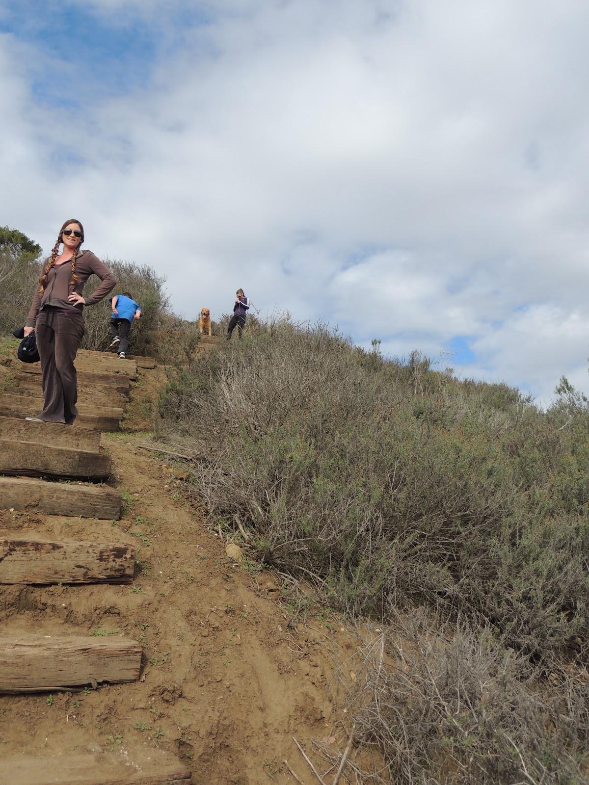
 We walked up these stairs instead

 Take a breather...

 ...or not...

 Made it to the top!

 to the left leads to The Cross

 The Avenue Area below...

 The Avenue Trail (search the blog for stats on it)

 More uphill?!

Ayden made this poop face because he was scared.  Sounds like gun shots!  From the top of the stairs, we walked to the right away from the Cross.  Guess what, you are nowhere close to the top!  Follow the path to the right and it will lead to what looks like a closed gun range.  Guess what, not closed!  We rejoined this trail in the pic above and climbed above the guns...


 Really Dad, is this necessary?

With all the gun violence out there, I cannot condone teaching an 8 year old how to pull the trigger.  Maybe I shouldn't voice my opinion, but these video games and guns, etc, man, just Chill Out and eat some Frozen Yogurt!!!

By the way, we are open for biz in Port Hueneme.  I've been so busy working, hence the reason why I am behind on my updates.  Still hiking...

 Dude, if they aim high, we could get hit!!!  Lookout!

 Keep Climbing! - It's not so bad...

 Happy New Years!

 I've been over there before... (the rare side of Ventura)

 The Trail goes down that way...

 A unique glance at Two Trees

 Anacapa!

 Looped Down a different way

This parking lot will eventually become a trailhead for me.  This is a great cheating spot to skip a lot of the initial climbing.  We circled around here and then rejoined the switchback trail back to the car.  It was a very pleasant New Years.  A bit cold and windy at the top, but it's January.  Heck, it beats Cleveland; unless we're speaking of Cleveland, Alabama...


***Quick Rewind:
I hit a New Track on New Year's Eve Day, after work.  I was without a camera and walked around the foothills in Newbury Park.  My intention was to only cover a brief mile, and that's pretty much all I did.  I can't recall the street names now, but it's that trailhead that I found when I hiked to the highest peak in Newbury (not Boney Mountain).  I just walked back across the fields, climbed through the grass and then back down to loop.  I'm exhausted....

Thursday, January 10, 2013

Chill Out Frozen Yogurt & Panini's: Grand Opening!

Photo


Chill Out Frozen Yogurt
Open For Business!

Photo: Flavors
 
 
Location:
417 East Port Hueneme Road
Port Hueneme, CA 93041
 
(Located on the corner of Port Hueneme Rd. & Ventura Rd.)
 
We are in the process of developing our website which will give customers the ability to order their Hot Panini Sandwiches online.  For now, stop and by and see what's on the menu.  It's been cold outside and a hot bowl of soup will warm up your insides.  Or, if your like me, a Cleveland boy, Chill Out with a smoothie or go cold blast and enjoy our Fro Yo!
 
We will be opening every day at 10am and we'll remain open until 10pm.  We do offer breakfast panini's, served all day.  If you demand it, we'll extend our hours and open early for you.  Please leave a comment or call Jess at 805 625-0845.
 
See you soon... 


Day 775: Murietta Divide - Matilija Wilderness - Los Padres National Forest - Monte Arido Trail - Blue Heron Ranch - Matilija Canyon Ranch

Facing South on the Monte Arido Trail from the Murietta Divide

Day #775 * Hike #974 New Track #763
Sunday December 30, 2012
Murietta Divide - Ojai, California

Matilija Wilderness - Los Padres National Forest
Monte Arido Trail - Blue Heron Ranch - Matilija Canyon Ranch
My Tripometer: 4 Hours * 10.5 Miles * +2100 Feet

 Welcome to the Matilija Wilderness


Directions:
Follow the driving instructions from Day 523-524: Camping on the Matilija Trail.  Park in the same spot and begin the same way.

 The Welcoming Committee at Matilija Canyon Ranch
Elevation 1515 Feet

 Ayden and I planned to hike to the Matilija Falls

 Upper North Fork Matilija Trailhead

This trailhead is 0.6 miles into your journey.  You will cross two streams to reach this spot.  This is where Ayden and I branched off on our camping trip from Day 523.  It's amazing up there and from what I've read, there's even more astonishing views awaiting for me to discover if I can just dedicate enough time to reach the limits.

Murietta Trailhead

This is located just 1/10th of a mile up from the Matilija trail.  It's off to the left of the road.  Our mission today was to reach the Matilija Waterfalls, and them falls be straight ahead up the road...

Hmm, guess we need to go left here

Okay, all trails to the left...

I was suspicious about this.  The turn off to the right looked promising, but it also looked like someones house.  Quite strange that someone lives way back here.  We decided to follow the main road which switched back to the left.  The truth is, the waterfalls are past this property.  I will get back to this ranch house later...


Climbing up and up...

Murietta Trail Junction...

At the time I did not realize that this was the same trail that we had passed an hour earlier.  I'm so mad because on the way back, we completely dodged this trail but I could have made a loop out of it.  This way would have walked us right through the wilderness instead of taking us up the old dirt road.  Moreover, there was a campsite spot in the middle of it all.  Oh well, guess I'll need to come back here :)


The Murietta Trail (the sign fell off the post)

On our way up to the Murietta Divide
 
It's getting colder...

A snowy bald spot on the side of the mountain

This is a wilderness up here...

Hmm, I don't think this came from a dog. 

What kind of animal poops on a rock?  Is it a bear???

We reached a dusting Snow Level

Sammi found her spot...

Sammi Sledding

Sammi stuck in the snow...
 

This was our turn around spot

This is the junction at the Murietta Divide
Elevation 3443 Feet

Of course I brought my map for the car ride out here but I did not bring it along this trek.  I had no idea what this intersection was at the time we stopped here.  We began walking up the snowy hill to the south.  It didn't really look like a trail but according to the map, this was the Monte Arido Trail.  The shot in the picture above shows this trail continuing to the north.  This trail goes way up and out there.  There's a spot called "Old Man Mountain" and the elevation reaches past 6000 Feet, but that's 7.6 miles from this junction!

If you continue down the main road, it will lead you to Day 530: Jameson Lake.  I reached this spot a long while back from the Santa Barbara side.  I would love to just escape for two weeks and hike all these trails to connect the dots.  I think I would prefer this time of year to do it too!  Since its so darn hot in the summer time, this cool temp would be great for heavy hiking.  The camp fire at night would be great.  I have a low temp sleeping bag, so I'm all set.  Who wants to join me...

On the way back, Sammi Jumped in there...

Blue Heron Ranch

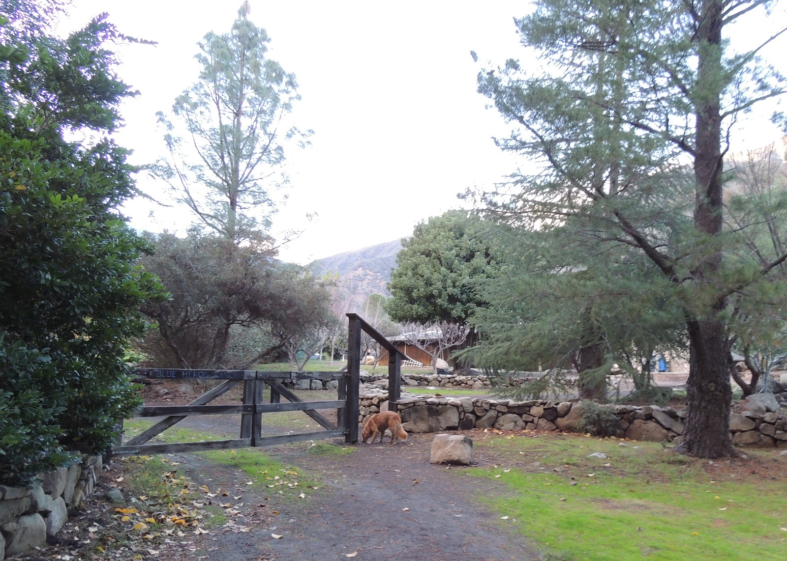
We decided to check it out.  So far, seems okay.  The sign on the entrance reads if my dog growls at you, please tie him to the fence.  Okay, sure, he must be joking...

The road leading to the Waterfalls.  I'm nearly certain of that!

With the sun going down and nearly 4 hours into this long adventure, we turned back.  Rather than go out to the road, I figured we could cut through the ranch...

We were under attack!

This dog was twice Sammi's size!

There were at least two German Sheppard's but Ayden swears there was 5.  They ran up to us and I immediately turned around, held on to Ayden and slowly walked the other way.  Ayden's instinct was to run, but I guarded him because that would not be the thing to do.  Fortunately Sammi distracted the dogs but when she saw how large they were, she walked away all coy...


This dog escorted us all the way back to the car.  Crazy.  Okay, I get it.  No Trespassing!  However, you cannot deny those waterfalls from me.  I will be back...


Translate

ALEX'S LEMONADE STAND

ALEX'S LEMONADE STAND
Raising Money for Pediatric Cancer

RWANDA WATER HIKE

RWANDA WATER HIKE
Click Image to Learn More