Wednesday, July 11, 2012

Days 601 - 604: Old Coach Drive & Eldred Lokker Memorial Park - Camarillo


Day #602 * Hike #704 * New Track #592
Monday July 9, 2012
Old Coach Drive - Camarillo, CA
My Tripometer: 1 Hour * 2.25 Miles * +275 Feet


 Trailhead - End of Old Coach Road

Directions:
From the 101 Freeway in Camarillo, exit on Las Posas and head north.  At the light where Las Posas turns right, continue straight instead on Crestview.  Drive up the hill to the stop sign and turn right on Valley Vista.  Drive all the way up the hill and across from the small fire station on the left, turn right to continue on Valley Vista.  About 1.5 miles from Crestview, turn right on Old Coach Drive.  Take this to the end of the road and park.  Technically, there is No Trespassing.  However, I ducked the fence to explore the open space.  I decided to head up hill to the east (the trail/dirt road to the right).
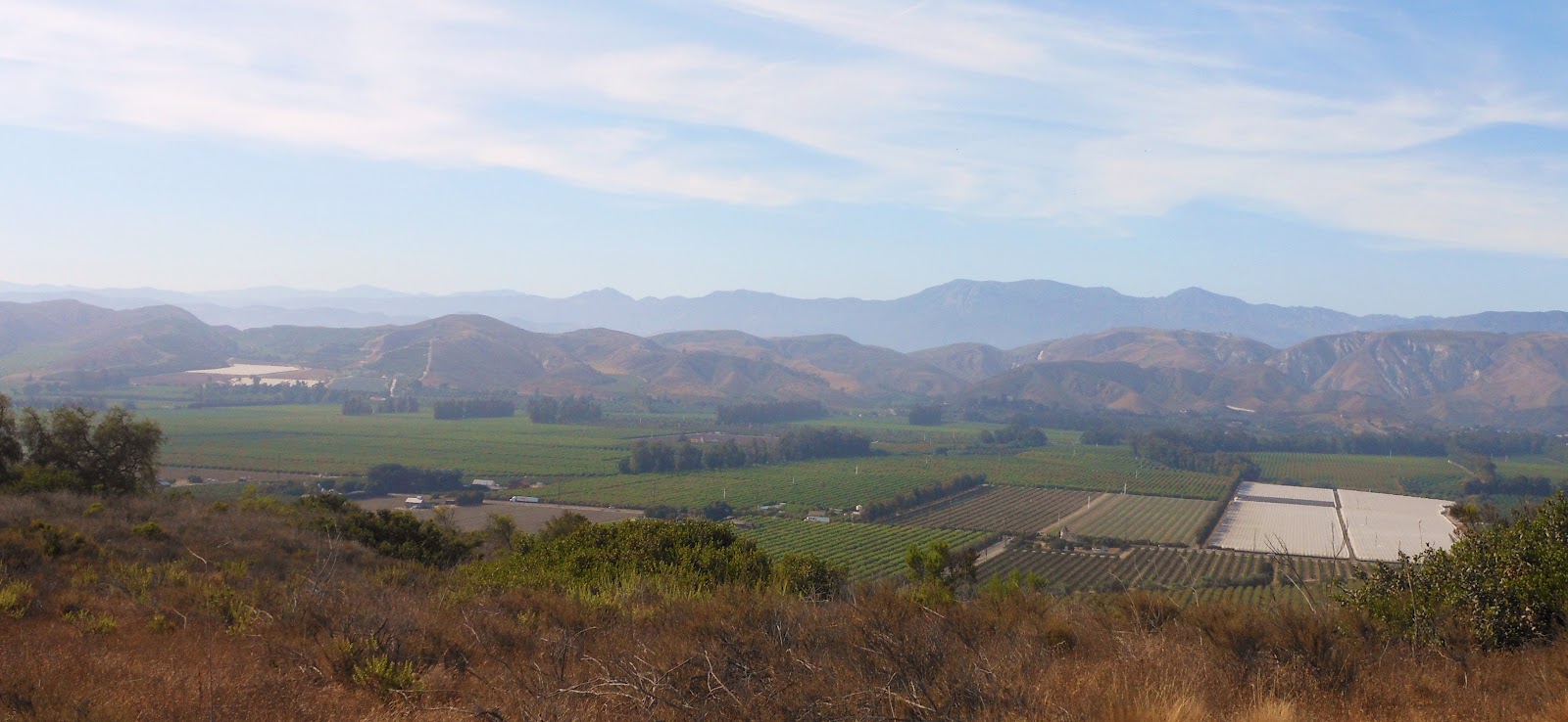
 Santa Rosa Valley on the far side

 There will be a fork in the road, I took the higher one on the right

 Overlooking Camarillo all the way to Point Mugu
(Hazy Day otherwise the views would be remarkable)

 The road turned into a single track trail - I veered right here


 A view over Camarillo Heights
Turning back, Oxnard here I come!

This was actually a pretty cool hike.  For the most part, the area has been left alone but I imagine that some day they will build houses up here.  If I had the money, I would buy this land myself and create an awesome trail system back here!  Due to the No Trespassing sign, I cannot recommend this hike but if I happen to find another open space entrance without the forewarning, I'll let you know :)


Rewind:

Day #601 * Hike #704 * Duplicate Track
Sunday July 8, 2012
Radio Towers at Arroyo Verde - Ventura
My Tripometer: 2.5 Hours * 4.25 Miles * +1000 Feet

My legs were feeling great after the long Pico Canyon Hike yesterday.  With Sammi and Ayden, we entered Arroyo Verde from my backyard and then climbed up the long narrow trail to the radio towers.  It was hot, especially for Ventura.  If I had it to do over again, I would have chosen the beach.


Day #603 * Hike #705 * New Track #593
Tuesday July 10, 2012
Eldred Lokker Memorial Park - Camarillo, CA
My Tripometer: 1 Hour * 2 Miles * +200 Feet

Directions:
Exit the 101 Freeway in Camarillo at Las Posas.  Head north and continue following Las Posas to the right at the Crestview intersections.  Less than a mile down, turn left on Cerro Vista Way.  This road will take you to the park.

The objective today was to find a gap in the neighborhood to reach the open space.  I was hoping to find a way to climb up to Old Coach Drive.


After jogging across the park, I hit the streets in search for an entrance.  My jog turned into a power walk stride when the streets began to climb at a steep grade.  I went up one, reached a cul-de-sac and then ran back down.  There was no entrance.  I repeated this process a few times and then finally gave up.  I had to quickly get back to Valle Lindo Park to pick up Alyssa from Soccer Practice.

This was her first official return to Eagles practice since her devastating injury.  She will be competition in an intense tournament this weekend in Costa Mesa.  Not by choice, we have completely parted ways with the Ventura Mighty Vipers.  Now that we are fully dedicated to the Club level in the highest possible division, this year will likely determine if Alyssa has what it takes to make the Junior Olympic Squad.  Stay tuned...


Day #604 * Hike #706 * Duplicate Track
Wednesday July 11, 2012
Kimball Park Two Mile Run- Ventura, CA
My Tripometer: 30 Minutes * 2.5 Miles * +25 Feet

In effort to increase my time from last week's run at Buena, I brought my track cleats to the high school only to find out that it was completely locked up.  I hate when they do that!  Horrible!!!  So, we drove over to Kimball for the run.  Obviously I would not be wearing track cleats on a sidewalk so I was forced to run in the sneakers that I was wearing.  Some old basketball shoes that I bought nearly a decade ago.  Let me tell you, pounding hard on the cement in these was painful!  I do have great Adidas cross-trainers but what are you going to do.  With the kids ripsticking along the walkway, Jess and I ran together.  I went out with guns blazing (compared to last time)...

2.00.70
2.01.62
2.00.21
1.57.06  1st Mile-7.59.59
2.20.13
2.14.10
2.12.32
Jeremy Final Quarter: 1.42.29  2nd Mile: 8.28.82  Two Mile Time: 16.28.43
Jessica Final Quarter: 1.57.07  2nd Mile: 8.43.60  Two Mile Time: 16.43.21

**This time was seven seconds slower than my run last Thursday.  My first mile was 23 seconds faster so it appears that I overran myself at first.  However, We were essentially running down hill for mile #1 and then on mile #2 we conquered the uphill.  In addition, we made a hard 180 degree U-turn for after the 4th split so all things considering, I am showing some promise.  I am now encouraged to keep up the running.  I feel great for it.  I cannot open up these kinds of speeds for a long period of time on the trails.  Okay, I'm going to bed now so i can do it all again tomorrow...

Tuesday, July 10, 2012

Day 600: Pico Canyon - Mentryville - First Comercial Oil Well in California

 
Day #600 * Hike #703 * New Track #591
Saturday July 7, 2012
Pico Canyon - Stevenson Ranch
Mentryville - Johnson Park - Santa Clarita Woodlands Park
First Comercial Oil Well in California
My Tripometer: 2.5 Hours * 5.5 Miles * +1500 Feet
 
 
Named after Charles Alexander Mentry
First successful commercial oil well in 1876

Directions:
From the I-5 in Santa Clarita, take the Lyons Exit and head west.  Follow this for a little over a mile and turn right on Pico Canyon Road.  Stay on Pico and do not be fooled by the small Pico Park on the left.  Keep going another mile and vere left at the fork.  Continue following the road to the end.

 You are suppose to call for a tour: (818) 768-2302
Trailhead 1600 Feet

 Paid Parking is around the back, but Jess dropped me off
with no one around, it felt like the movie Thirst, stranded in the desert

 Superintendent's House - "Big House"
(Self Guided Tour)

 The Felton School

About quarter mile past town I found a bridge to the left

 This leads back and up and in

 Not Funny!  Someone through a picnick table down there

This is shame because these tables were knew.  Why do people do this?  The drop here is steep and the ground is loose.  I followed the single track back a bit further but the trail seems to dissappear after this.  Thus, I ventured back to the main road and continued higher.


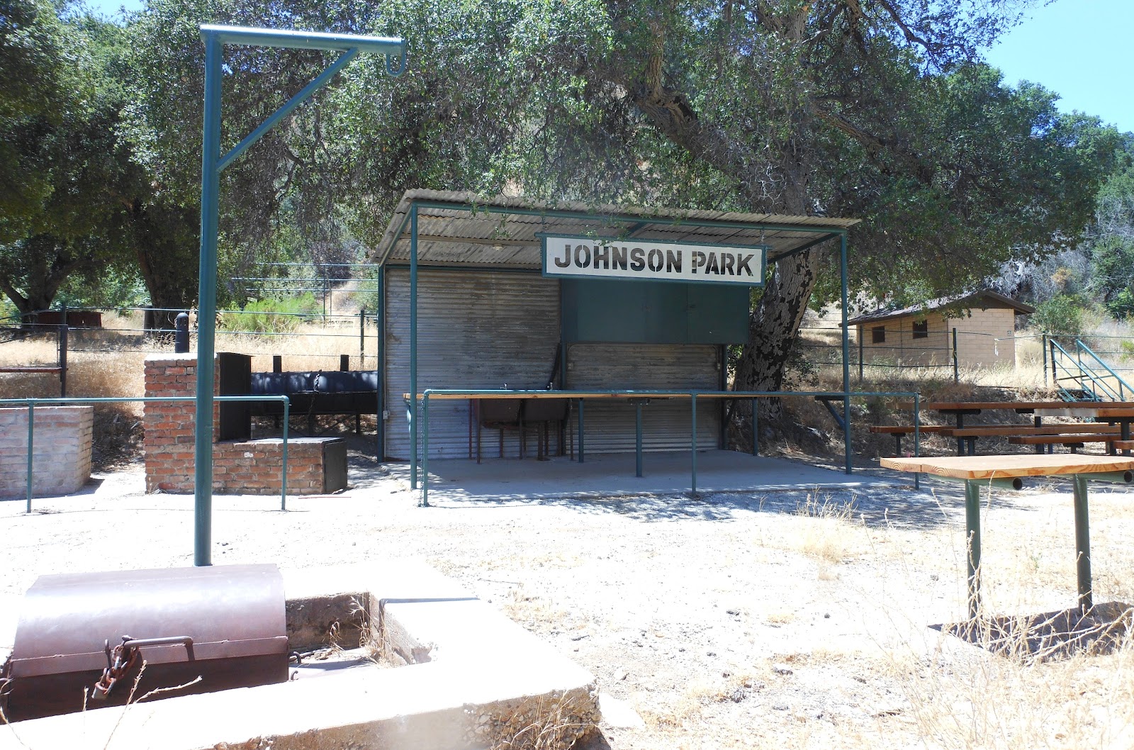
Next turn off to the left, Johnson Park

 This was once a thriving oil town

This makes a great mountain biking route
With temperatures above 90, there were no takers back here

 The First Commercial Oil Well

The nicely paved road ends shortly after this spot.  However, the dirty rocky road continues and it is easy to follow.  That being said, the high temperatures evaporated my water more quickly than usual.

 Deer

 The road below

 Magic Mountain

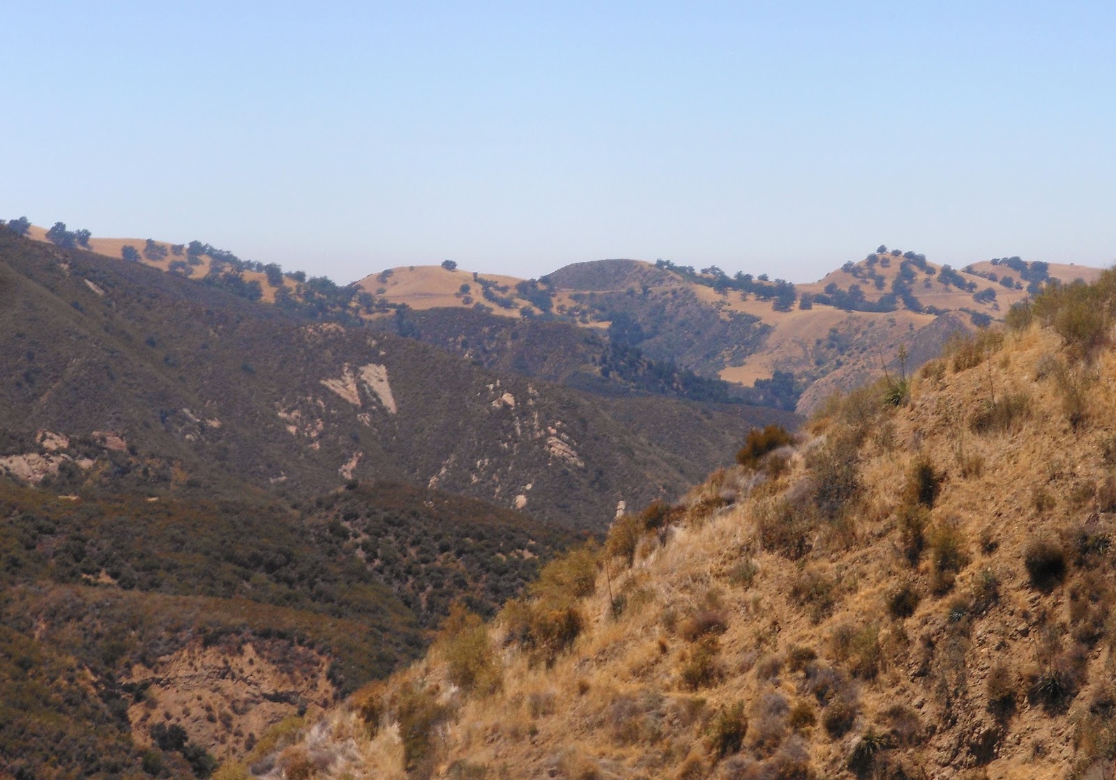
 Views

 The backside of the mountain

 2800 Feet - No safe way to climb it

The road began going lower from here.  I turned around since I was nearly out of water and was scheduled to meet my wife in 1 hour; it took me about that long to reach this point.

Heading back, yu can see those hills from the 126 - neat!

Was this an oaisis?

How random to find a soda machine on a trail?  How very random of me to actually have cash in my pocket.  My wife was late returning from Ikea so I drowned myself with a Pepsi.  Twenty minutes later, I chugged a Mug Rootbeer.  At the time, it seemed like the right thing to do.  When my wife came, she brought me a large Dr. Peper from El Polo Loco, but no food.  So, I drank the 44 ounce soda because I was dehydrated.  The hike was ruff, hot, next to no shade to escape the sun.  But were my legs sore, no!  My stomach was from all the soda.  Bad idea, huh?  --ahh, just finished a 12 ounce can of Coke as I was writing this.  What's wrong with me, oh yeah, I hike ever day so I must be crazy...

 
Day #598 * Hike #700 * Duplicate Track
Thursday July 5, 2012
Buena 2-Mile Run
My Tripometer: 45 minutes * 2.5 Miles * +0 Feet
 
2.09.60
2.05.50
2.02.74
2.04.95  8.22.78
2.05.66
2.04.42
2.03.33
Jeremy Final Quarter: 1.45.03 -- 7.58.44 (2nd Mile) -- 16.21.22 (Two Mile Time)
Jessica Final Quarter: 1.58.18 -- 8.11.59 (2nd Mile) -- 16.34.37 (Two Mile Time)
 
**This was a good run for us.  We kept a decent pace and ran together around the quarter mile track.  We each gave a little bit of a push at the end to score our best laps.  There was a time where I ran this distance in 13 minutes.  Maybe I'll run myself back to those speeds again?
 
 
Day #599 * Hike #701 * Duplicate Track
Friday July 6, 2012
Arroyo Verde - Ventura, CA
My Tripometer: 1 Hour * 2.5 Miles * +350 Feet
 
Day #600 * Hike #702 * New Track #590
Saturday July 7, 2012
Newhall Comunity Pool - Newhall, CA
My Tripometer: 2.5 Hours * 1 Miles * +0 Feet
 
Diving Season is back in Session.  Ayden warms up in the Newhall Dive Meet in preparation to compete in the LA 84 later this summer.  Last year he placed 2nd in the invite only competition.  This year he has set his mind on Gold.
 
 Ayden Scores on his Back Dive

Dive Meets are long, especially with the intermission.  In between rounds I did my rounds arounds the park.  It was later morning and the temperature was approaching 90.  --As I write this blog today, the Santa Clarita area (which includes Newhall) reach temperatures of 109 today.  I'm so glad we did this when we did, especially with my Pico Canyon Hike after the meet...

The Park - Let's Explore...
 

Monday, July 9, 2012

Top Hikes in Central California

Top Hikes in Central California
Yosemite, Mammoth, Mt. Whitney, Lone Pine & Fresno
Ratings:     Expert     Very Hard     Hard     Moderate     Easy     Very Easy
  1. Day 576: Taft Point - Yosemite
  2. Day 577: Cottonwood Pass Trail (PCT) - Horseshoe Meadows - Lone Pine
  3. Day 578: Mount Whitney Trail - Lone Pine
  4. Day 576: Glacier Point & Washburn Point - Yosemite
  5. Day 575: Forks Campground - Bass Lake (Near Yosemite)
  6. Day 576: Curry Village & Rafting down the Merced - Yosemite
  7. Day 576: Tioga Pass - Yosemite
  8. Day 576: Mariposa Grove of Giant Sequoias - Yosemite
  9. Day 577: Lake Mary Region & Trails - Mammoth Lakes
  10. Day 577: Alabama Hills - Lone Pine
  11. Day 577: Twin Lakes - Mammoth Lakes
  12. Day 576: Swinging Bridge - Yosemite
  13. Day 578: Lake Diaz Campground & Alabama Hills - Lone Pine
  14. Day 575: Fulton Mall - Fresno

Best Hikes in Hawaii - The Big Island

Top Hikes in Hawaii - The Big Island

Ratings:     Expert     Very Hard     Hard     Moderate     Easy     Very Easy


  1. Day 152: Green Sand Beach - Death March at South Point
  2. Day 151: Polulu Valley Lookout
  3. Day 152: Hawaii Volcanoes National Park
  4. Day 151: Akaka Falls
  5. Day 152: Punaluu Black Sand Beach
  6. Day 153: Hapuna State Beach
  7. Day 151: Rainbow Falls & Boiling Pots
  8. Day 155: Kekaha Kai Beach
  9. Day 150: Kahaluu & White Sands Beach
  10. More Pictures

Videos & Newspaper

Hiking Videos & Newspaper Articles
www.facebook.com/cn2rockhill (Rock Hill News)
1000 Trails in 1000 Days (Ventura County Star)
1000 Days of Hiking (Camarillo Acorn)
1000 Hikes 1000 Days (The Independent - Santa Barbara Newspaper)
Not So Close Encounter with Two Coyotes
Remember 2011 (You Tube)
Arroyo Verde Fire!
$100.00 Cash Cache!
New Zealand North Island 2011 (YouTube)
272 Days in a Row! (YouTube)
December 2010 Hiking Video! (YouTube)
Days 30-37: DC & Cleveland! (YouTube)
Day 27: Ayden Versus the Wave! (YouTube)
November 2010 Video - 16 Hikes Complete! (YouTube)


Alyssa Soccer Videos & Newspaper Articles
Vipers Win State Cup (Ventura County Star)
Vipers Dominate at Tournament of Champions (Ventura County Star)
Mighty Vipers Playoffs: January 2012 (Daily Motion)
Mighty Vipers Playoffs: January 2012 (YouTube) -may not work
2011 Ventura Mighty Vipers - The Season (Daily Motion)
2011 Ventura Mighty Vipers - The Season (YouTube) -may not work
911 Tribute Game (YouTube)
Alyssa 2011 Soccer Video (YouTube)
Alyssa Merry X-Mas 2010 (YouTube)


Other Videos/Links
Ayden Wins the Gold - 2012!
Take a Ride on Goliath!
Memorial Day 2012 on the 405
House Hunters Application Video 2011
Ayden's First Diving Video
2012 LA 84 Dive Results - Ayden Wins the Gold!
2011 LA 84 Dive Results - Ayden Takes the Silver!
2012 LA 84 Dive Pics
2011 LA 84 Dive Pics
Newlywed Game - Jeremy & Jessi 2010
Kids Cooking - Webisode 2
Kids Cooking: Breakfast Smoothies
Anniversary Video

Independence Day: Malibu Lagoon - Southernmost Beach in Malibu

Crashing the Waves!

Day #597 * Hike #698 * New Track #588
Wednesday July 4, 2012
The Southernmost Beach in Malibu!
My Tripometer: 2 Hours * 1 Mile * +25 Feet
 
 The Getty Villa

Directions:
PCH/Coastline Drive across from the Getty Villa.  Free street parking for this hidden wonder!

 Trailhead - Stairs to the beach

 Strike a Pose!

 I found some rocks under the sand

 This is My Rock!

 This is My Sand!

 I hiked alone...

 I got caught by a wave!

 It goes all the way to Santa Monica - I turned back


Day #597 * Hike #699 * New Track #589
Wednesday July 4, 2012
Malibu Lagoon
My Tripometer: 2 Hours * 1.25 Miles * +25 Feet
 
 Unique Birds in the Trees

Directions:
Free parking in the Malibu Country Mart.  Take the PCH to Cross Creek Road and turn in.  I've come here a few times in the past, search my blog.  Today we were hoping to buy some Six Dollar Cupcakes but they closed early for the Holiday.  After the kids played in the playground area, we walked across the street to the Lagoon.  There were four firework displays in Malibu this year.  From the Lagoon, we were able to view two of them...

 Follow the quarter mile path to the beach

 A Cop protecting the Lagoon

 Malibu Pier

 The Fireworks!


Happy Independence Day.  -Time to head back home because I have to work in the early morning!

Translate

ALEX'S LEMONADE STAND

ALEX'S LEMONADE STAND
Raising Money for Pediatric Cancer

RWANDA WATER HIKE

RWANDA WATER HIKE
Click Image to Learn More