Tuesday, January 8, 2013

Day 774: Buena Vista Vacant Lot Trail

Shh, don't move.  They can sense us...

Day #774 * Hike #973 New Track #762
Saturday December 29, 2012
Buena Vista Vacant Lot Trail - Ventura, California

My Tripometer: 45 Minutes * 1.25 Miles * +100 Feet

 Trailhead

Directions:
From downtown Ventura, head east on Poli and turn left on Rincon St.  If you get to Lincoln (the stop sign), you went too far.  From Rincon, turn right on Buena Vista and drive around until you see this gate on the right.  Don't wait too long, otherwise someone may buy this place.

I was driving around the area in search for a new hike.  For the past 7 days I had been covering duplicate teritories and honestly, I was really bored!  I first drove down Lincoln but could not find an adequate place to hike.  Finally, this vacant lot won over my destination for the day...

 View Lot!  Let's go House Hunting...

 So this will be my driveway

 Staircase to walk back up to the street

 We could build a cabin here...

 ...out of these trees...

 ah, a backyard trail...

 Cool Trees!

 Figures, a homeless hideout!

 climbed a back ridge, thought I was on a trail...

 Looking back...

 Heading back past the trees

 Found a dry stream bed

 On my drive home, spotted a coyote off Foothill

 Nope, spotted two dogs...


Check out the 1 minute video of these pups on YouTube:
 

Sunday, January 6, 2013

Day 767: Knapp's Castle

Knapp's Castle

Day #767 * Hike #966 New Track #761
Saturday  December 22, 2012
Knapp's Castle - Goleta, California

My Tripometer: 1 Hour * 1.5 Miles * +175 Feet

The trail to the castle is only about 0.35 miles - Very Easy!

Directions:
Follow the driving instructions for Day 552: Painted Cave.  Then continue up the roadway to the top where you will reach East Camino Road.  Turn right and head up this road for about 9/10ths of a mile.  On the left, look for this trailhead:

 Trailhead

 Trail Junction, turn up and to the right

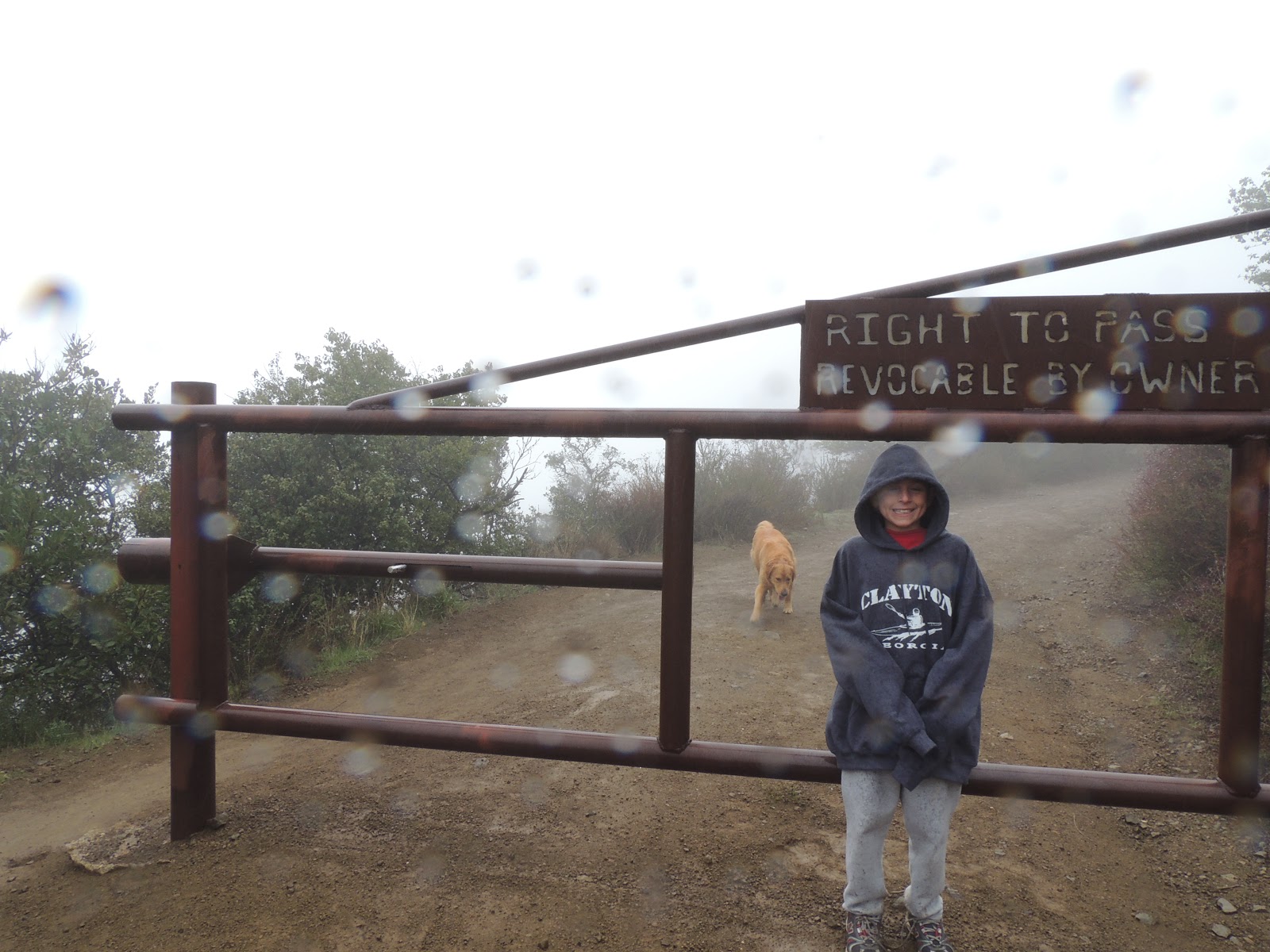
When we left the house in Ventura it was a perfectly sunny day.  We hadn't had one of these in awhile, but it was short lived...


I used a self made granny hat to cover my  head and ears from the cold rain.  Personally, I don't mind the weather but if I would have known these elements were coming, I would have used my old camera.  Every Time!  This is now my third camera since beginning my 1000 Days!  It looks like I escaped today without too much damage...

 We Found the Castle!


After exploring inside the old ruins, we ventured off trail to follow this animal path.  It got to a point where it was just plain stupid and wet to continue, so we turned back.  The hike to the castle itself is very simple and very short.  To lengthen this trip, you can head back to the junction and then follow the main road for miles deeper into the wilderness.  We however did not do this.  I suppose it was stupid to drive an hour and only hike 1.5 miles total, but we did.

Caution, on our way back there was an accident on the 154, San Marcos Pass.  This happens more often than it should, especially when there is weather.  It completely blocks the road and the deadlock could last for hours.  Instead, we made a U-Turn and found an alternate way back down.  At Painted Cave Road, the street you turn up to reach the Castle, you can turn left down San Marcos Road.  Just follow this very windy road all the way down and it will place you just one exit to the North on the 101, the airport exit.

**On the 154, many years ago I whipped down this road coming back from Chumash Casino.  The road was slick and there is one turn that swings a little more than you would think.  I nearly lost control here and crashed head on to another vehicle.  Fortunately, I have Cleveland driving skills and I recovered brilliantly.  Unfortunately, it appears that today's driver was not as fortunate.  Bottom line, drive slower, stay alert and just be careful...
 See You Later...

Driving Down Painted Cave Road
Day #761 * Hike #960 New Track #760
Sunday December 16, 2012
Port Hueneme, California

My Tripometer: 2 Hours * 2.5 Miles * +0 Feet

Today we were working on the shop and in between it all we took a hike from the shop to Moranda Park, Bubbling Springs, Port Hueneme Beach and the Surfside Neighborhoods.  Most of this area that I covered was duplicate but some of it was new, hence New Track #760.  I took many pics with my phone but I will not be sharing those today.

We were passing out flyer's for Chill Out Frozen Yogurt.  Originally we envisioned opening on the 15th but from what we gathered, we really thought our Grand Opening would be on Wednesday.  Along our trek today I mapped out the area, snapped pics and my goal is to create a very user friendly map and then share it for the customers.

Well, as I write this post today, it's weeks later and we are still not open!  The city and health requirements are tedious!!!  Electrical has been a set back to the point where we cannot open until we have a plaque made and installed on the outside of the new electrical panel.  Really!  We have to go to a trophy shop for this.  So many little details.  Handicap railing for the restroom, even though its not a public restroom and my wife will be the only one using it.  The toilet paper roll is on the wrong wall.  I now have to drill through cement to install it.  And so on...  Ever so close, we should be opening very soon...

Day #762 - 766 * Hike #961 - 965 * Duplicate Tracks
Monday - Friday December 17 - December 21, 2012
Various Hikes


More cold weather, rain, wind and early sun downs.  During the week I hiked around Port Hueneme, Arroyo Verde and I even did a lunch break hike up in T.O.  All Duplicates, nothing new to report.  Just as I caught up my New Track Location to my days, I am beginning to slip again.  Let me tell you, this is not an easy life to continue finding new locations to hike.  They are out there, but it is so demanding!!!

Day 760: Candy Cane Lane - Woodland Hills, CA


(Pics courtesy of my wife's FB Page)

Day #760 * Hike #959 New Track #759
Saturday December 15, 2012
Candy Cane Lane - Woodland Hills, California

My Tripometer: 1 Hour * 1.5 Miles * +0 Feet


In year's past, our Jacobus tradition is to visit Candy Cane Lane in Oxnard, CA.  On this day, we were in route to the airport to pick up a family friend.  Along the way, Jess found this area on her phone, and we checked it out.  Let me warn you, Traffic is Horrible.  If you wish to visit Candy Cane Lane in Woodland Hills, follow these driving directions:

In Woodland Hills, exit the 101 Freeway at Winnetka and head north on Winnetka.  Turn left on Hetteras, the second street on the left.  Park your car on the street.  Walk across Winnetka and enjoy the lights.

Obviously this is a hike only to do in the month of December before Christmas.  It's very festive!  It's also very busy.  The Lazies will drive their cars up and down the road.  It's bumper to bumper so be careful.  The neighborhood participates for many blocks, up and down.  It will take you a good hour to cover the entire distance.

Cops were on the scene and they ticketed a resident who was selling hot coco because he had no license.  Really!!  This happened right in front of us; Horrible!  It's not like this resident needed the money to sell the hot treat.  I believe it was more for the experience for his kids and for the spectators trekking through the cold.  His home must be worth a million plus and I hardly doubt the $1.50 coco was going toward his mortgage.

Anyhow, cool place to visit if you live in So. Cal.  Merry X-Mas!

Days 754 - 759


Day #754 - 759 * Hike #953 - 958 Duplicate Hikes
Sunday December 9 - Friday December 14, 2012
Welcome Back To Cali!


It took some time adjusting back to California.  The weather was unexpectedly cold, wet and rainy!  With the sun going down early, it was a race to get a hike in before dusk.  I raced with Sammi in Arroyo Verde and on one wet day I completely wiped out!  Yep, I fell on the trail!!  No worries, Sammi ran to my rescue and pounced on me.  I wasn't hurt but ugh, being muddy is not fun like it was when I was a kid!

Overall, this first week back was used to catch up at work and help complete the Chill Out Frozen Yogurt Project!  Oh yeah, we had some serious issues with our contractor.  Bottom line, Jess and I have been working in there daily to complete the project.  If all goes as planned, we should be opening on Thursday January 11, 2013!

Day 753: D. H. Stanton Park - Atlanta, Georgia


Day #753 * Hike #952 New Track #758
Saturday December 8, 2012
D.H. Stanton Park - Atlanta, Georgia

My Tripometer: 30 Minutes * 1 Mile * +25 Feet


We arrived in Atlanta and we still had time to kill before our plane departure.  We passed by the Rings from the 1996 Olympics and the took the next exit figuring that we would just run into it.  However, we zigged and zagged, passed by the zoo and then ran into this park.  My goal here was to climb this hill to see out over the city, but as you can see, my views were nothing spectacular.  There was a neighborhood above this hill and we thought it would offer the views that we were looking for.  Unfortunately, It was fenced off from this park and when we tried driving around to reach it, it could not be found!  We then entered Olympic Plaza in Jess's phone.  It escorted us to some strange random parking lot.  Needless to say, the city of Atlanta was an utter failure.  We messed up...

 This is our version of Hotlanta...

 Taste of Cleveland


Finally, I was able to grab a picture of Atlanta from the airplane.  ***We are heading home...

Friday, January 4, 2013

Day 753: Cheaha State Park - Highest Peak In Alabama - Talladega National Forest - Cheaha Trailhead


Cheaha State Park - Elevation 2,407 Feet

Day #753 * Hike #951 New Track #757
Saturday December 8, 2012
Cheaha State Park
- Talladega National Forest
Highest Peak in Alabama
Cheaha Trailhead
My Tripometer: 1 Hour * 1.25 Miles * +25 Feet


Not far from Talladega Superspeedway you'll find the highest peak in the state of Alabama...


It was a cold, wet and rainy morning and despite a deer crossing the windy road, the drive was easy and the hike was even easier.  After parking the car, we ran 20 feet to the tower to escape the weather.  We climbed to the top and... 

 Ahh, No Views Today, but higher than anyone else in Alabama!

 Hmm, what am I doing here?

 The back side of the tower

While the family escaped the weather by warming up in the car, I braved it and explored to somehow make a hike out of it.  My first impulse was to absolutely determine where the highest spot actually was.  Just as in Florida, there was a plaque stating "highest point" yet I found a mound of earth to the side that was naturally taller.  At this tower, it appeared that they placed the building directly on the spot.  However, look what I found...

 A Rock!  The Highest Peak in Alabama?!

There was no sign to confirm my suspicion, but this felt right.  I climbed the rock, hence I was higher than anyone else in Alabama, unless Snoop Doggy Dogg was in state...

 Cheaha Trailhead

Driving back down the nearly mountainous like road, we pulled off to the side to continue our exploration of the area.  We were in the woods and this trail would go on forever.  I didn't go far but got a taste of the area...


Real cool spot up here.  Well, we have a plane to catch.  The vacation is just about over.  Next stop, Hotlanta and then back to the O.C...

Wednesday, January 2, 2013

Day 753: Talladega Nights - Talladega Superspeedway - Alabama


Day #753 * Hike #950 New Track #756
Saturday December 8, 2012
Talladega Superspeedway - Lincoln, Alabama

My Tripometer:  1 Hour * 1.5 Miles * +50 Feet


From Birmingham Alabama, take I-20 East.  About 30 minutes down the road you will pass the small town of Lincoln.  Lookout for the Talladega Superspeedway sign.  If you blink, you'll miss it.  Exit 168 on State Route 77.  Head south and make an immediate left turn on County Road 399.  Drive a couple miles down that and then turn right somewhere toward the track.  It was a complete ghost town and a very rainy morning.  A perfect stop before heading back to Atlanta...

 How do we get in?


 We drove around and slithered our way to here

 We hiked our way to the stands


 Can you believe I had to wait in line!!!

 We got lost trying to drive out, but we made it to the other side

More Track Views!

This was a special stop for the kids.  They love the movie Talladega Nights, and now they got to step foot in the stands, not on the track.  They liked this better than Daytona.  Okay, next stop, Atlanta.  Hmm, maybe not.  The small town of Talladega is just south of here.  Nah, boring.  The Talladega National Forest is to the east.  I bet you didn't know there was a National Forest named after a race track, or maybe it's the other way around.  Let's go find a real hike...

Translate

ALEX'S LEMONADE STAND

ALEX'S LEMONADE STAND
Raising Money for Pediatric Cancer

RWANDA WATER HIKE

RWANDA WATER HIKE
Click Image to Learn More